Botswana
Country · Africa, Southern Africa
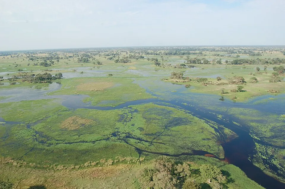
Botswana is a country located in Southern Africa, bordered by Namibia, South Africa, Zambia, and Zimbabwe. Its capital is Gaborone, and it covers an area of 581,737 square kilometres with a population of about 2.6 million people. The country offers travellers 7 top sights, including national parks, reserves, and UNESCO sites.
Highlights
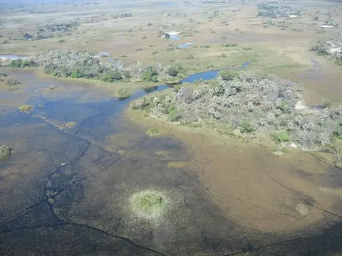
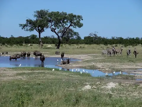
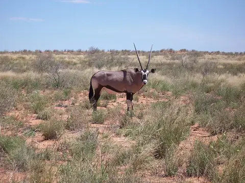
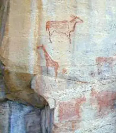
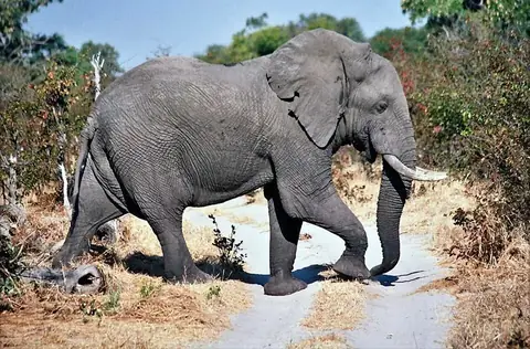
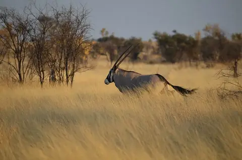
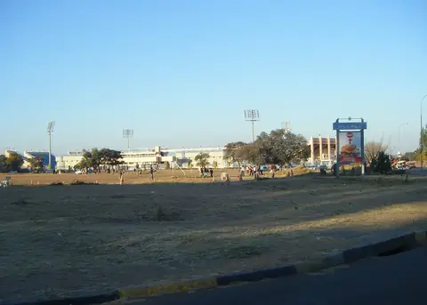
The site covers 7 top sights. Natural and cultural attractions include the Okavango Delta, Chobe National Park, Kgalagadi Transfrontier Park, Tsodilo, Moremi Game Reserve, Central Kalahari Game Reserve, and Botswana National Stadium.
Food and drink
Local dishes to try include seswaa, bogobe jwa lerotse, and dikgobe.
When to go
The climate data reflects the weather at the capital, Gaborone. January and December bring the warmest daily highs of 31 °C, with lows of 20 °C and 19 °C respectively, along with higher rainfall up to 92 mm in January. June and July are the coolest months, with daily highs of 21 °C and lows dropping to 6 °C or 7 °C, accompanied by very little rain.
Practical notes
The official currency is the Botswana pula, and English is spoken. Plugs used are types D and G with a voltage of 230 V. Driving is on the left side of the road. The time zone is UTC+02:00.
Food and drink to try in Botswana
- Seswaa
- Bogobe jwa lerotse
- Dikgobe
Top sights in Botswana
Weather by month
The warmest month is December, with an average high of 31 °C. The wettest is January, with about 92 mm of rain.
| Jan | Feb | Mar | Apr | May | Jun | Jul | Aug | Sep | Oct | Nov | Dec | |
|---|---|---|---|---|---|---|---|---|---|---|---|---|
| Average high, °C | 31 | 31 | 29 | 26 | 24 | 21 | 21 | 24 | 28 | 30 | 31 | 31 |
| Average low, °C | 20 | 20 | 18 | 15 | 10 | 7 | 6 | 9 | 13 | 16 | 18 | 19 |
| Rainfall, mm | 92 | 84 | 63 | 25 | 12 | 7 | 1 | 2 | 8 | 39 | 74 | 72 |
| Rainy days | 13 | 12 | 10 | 6 | 2 | 1 | 0 | 0 | 1 | 4 | 8 | 12 |
Temperatures and rainfall: 1981–2010 averages for Gaborone (4 km grid), from CHELSA. Rainy days: 2015–2024, NASA POWER.
Also worth a look
- Nxai Pan National Park