Zimbabwe
Country · Africa, Eastern Africa
Zimbabwe is located in Eastern Africa, bordered by Botswana, Mozambique, South Africa, and Zambia. With a land area of 390,757 square kilometers and a population of about 17 million, the country features a range of national parks and historic sites. Harare serves as the capital.
Highlights
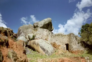
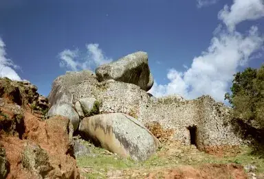
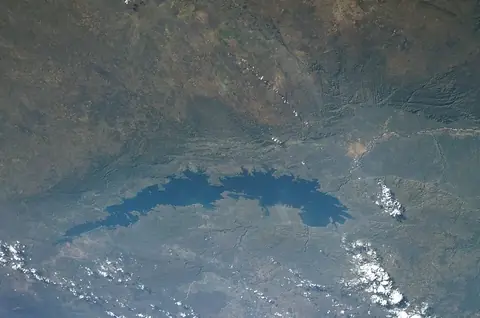
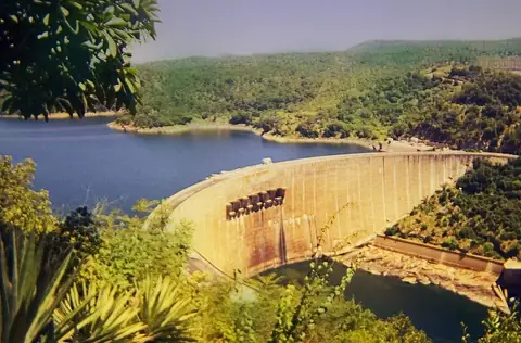
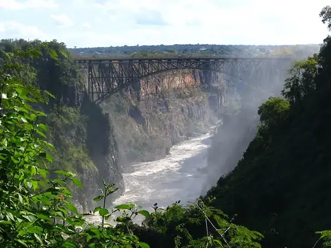
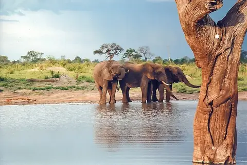
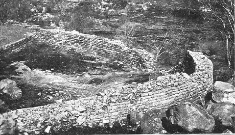
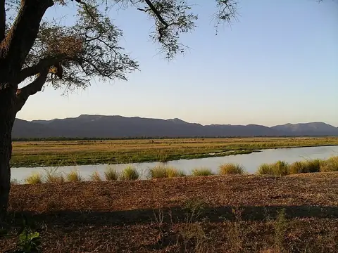
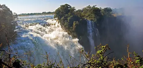
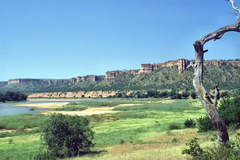
This guide covers 10 notable sights across the country. You can visit natural areas such as Hwange National Park, Mana Pools National Park, Matobo National Park, Victoria Falls National Park, and Gonarezhou National Park. Historic sites include Great Zimbabwe and Khami. Further points of interest are Lake Kariba, the Kariba Dam, and the Victoria Falls Bridge. Mount Nyangani serves as the highest point in the country. The city of Kariba is also a notable location, along with other sites like the National Gallery of Zimbabwe and the Zimbabwe Museum of Human Sciences.
When to go
Based on the climate in Harare, the dry season runs from June through September. During these months, rainfall is minimal, often measuring 3 millimeters or less. Temperatures are cooler, with daily highs around 20 °C to 26 °C. The rainy season occurs from December through February, with significant rainfall and high temperatures around 24 °C to 25 °C.
Practical notes
Zimbabwe uses several currencies, including the United States dollar, the Zimbabwe ZiG, the pound sterling, the Australian dollar, the euro, the rand, the yen, the renminbi, the Indian rupee, and the Zimbabwean dollar. Official languages include English, Shona, Northern Ndebele, Chewa, Barwe, Kalanga, Khoisan, Ndau, Tsonga, Zimbabwe Sign Language, Sesotho, Tonga, Tswana, Venda, Xhosa, and Nambya. The country operates on a 220-volt electrical system with type G plugs. Traffic moves on the left side of the road, and the time zone is UTC+02:00.
Cities
Top sights in Zimbabwe
Weather by month
The warmest month is October, with an average high of 27 °C. The wettest is January, with about 195 mm of rain.
| Jan | Feb | Mar | Apr | May | Jun | Jul | Aug | Sep | Oct | Nov | Dec | |
|---|---|---|---|---|---|---|---|---|---|---|---|---|
| Average high, °C | 25 | 24 | 24 | 24 | 22 | 20 | 20 | 23 | 26 | 27 | 27 | 25 |
| Average low, °C | 16 | 16 | 15 | 13 | 10 | 8 | 8 | 9 | 12 | 14 | 16 | 16 |
| Rainfall, mm | 195 | 161 | 123 | 31 | 11 | 3 | 1 | 2 | 3 | 29 | 75 | 167 |
| Rainy days | 21 | 17 | 13 | 8 | 2 | 1 | 1 | 0 | 1 | 4 | 13 | 17 |
Temperatures and rainfall: 1981–2010 averages for Harare (4 km grid), from CHELSA. Rainy days: 2015–2024, NASA POWER.
Also worth a look
- Big Tree at Victoria Falls
- Cathedral of St Mary and All Saints, Harare
- Chimanimani Mountains
- National Gallery of Zimbabwe
- Nyanga National Park
- Sacred Heart Cathedral, Harare
- Zimbabwe Museum of Human Sciences