Mozambique
Country · Africa, Eastern Africa
Mozambique is a country in Eastern Africa that shares borders with Comoros, Eswatini, Malawi, South Africa, Tanzania, Zambia, and Zimbabwe. With a population of about 35.6 million people and an area of 801,590 square kilometers, its capital is Maputo. The country features large national parks and historical sites.
Highlights
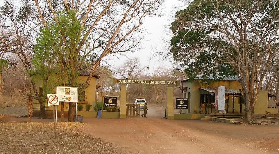
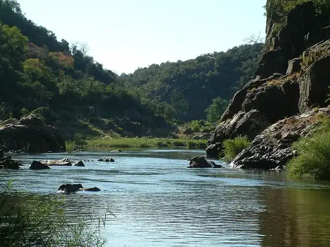
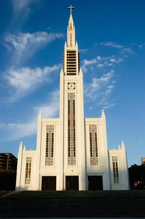
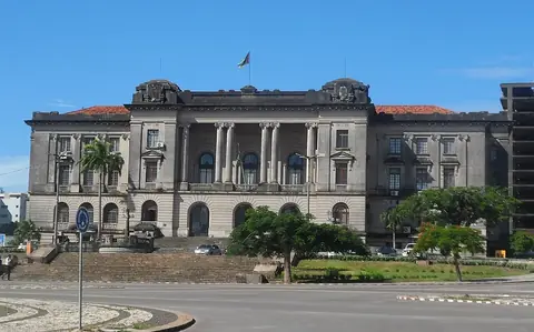
This guide covers 6 sights. Nature enthusiasts can visit Gorongosa National Park, the Great Limpopo Transfrontier Park, or Maputo National Park. Travelers interested in urban architecture and history can explore the capital, Maputo, which features the Cathedral of Our Lady of the Immaculate Conception, the Fort Nossa Senhora da Conceição de Lourenço Marques, and Maputo City Hall.
Food and drink
Local dishes include Matapa and Kunga cake.
When to go
The weather in Maputo is generally warm throughout the year. For the driest conditions, visit between June and August, when daily highs range from 23 °C to 24 °C and rainfall is minimal. The months from January to March are warmer, with daily highs of 28 °C, but these months also experience significant rainfall, with up to 18 rainy days in January.
Practical notes
The official language is Portuguese, and the currency is the Mozambican metical. Electricity operates at 220 volts using plug types C, D, and F. Traffic moves on the left side of the road. The time zone is UTC+02:00.
Cities
Food and drink to try in Mozambique
- Matapa
- Kunga cake
Top sights in Mozambique
Weather by month
The warmest month is February, with an average high of 28 °C. The wettest is January, with about 145 mm of rain.
| Jan | Feb | Mar | Apr | May | Jun | Jul | Aug | Sep | Oct | Nov | Dec | |
|---|---|---|---|---|---|---|---|---|---|---|---|---|
| Average high, °C | 28 | 28 | 28 | 27 | 25 | 24 | 23 | 24 | 25 | 25 | 26 | 28 |
| Average low, °C | 23 | 24 | 23 | 21 | 19 | 17 | 16 | 17 | 19 | 20 | 21 | 23 |
| Rainfall, mm | 145 | 122 | 94 | 47 | 29 | 16 | 16 | 14 | 27 | 57 | 108 | 108 |
| Rainy days | 18 | 16 | 14 | 11 | 6 | 4 | 4 | 3 | 7 | 9 | 12 | 16 |
Temperatures and rainfall: 1981–2010 averages for Maputo (4 km grid), from CHELSA. Rainy days: 2015–2024, NASA POWER.
Also worth a look
- Fort Nossa Senhora da Conceição de Lourenço Marques
- Maputo National Park