Eswatini
Country · Africa, Southern Africa
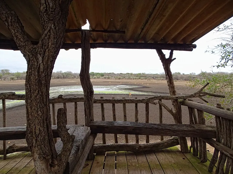
Eswatini is a country in Southern Africa, bordered by Mozambique and South Africa. The capitals are Lobamba and Mbabane, covering an area of 17,364 square kilometres with a population of about 1.3 million. It offers travellers a mix of national parks, stadiums, and wildlife sanctuaries.
Highlights
The site covers 2 top sights. Visitors can explore Somhlolo National Stadium and Hlane Royal National Park. Additionally, Mlilwane Wildlife Sanctuary is worth a look.
When to go
The climate data describes the capital with daily highs and lows. June and July are the coolest months, with daily highs of 21 °C and lows of 8 °C to 9 °C, alongside lower rainfall of 10 mm to 18 mm. January, February, and December are the warmest months, reaching highs of 27 °C and lows of 18 °C, but they also experience the heaviest rain, reaching up to 154 mm on about 18 to 20 days.
Practical notes
The currency is the lilangeni. Official languages are English and Swazi. Driving is on the left side of the road. The time zone is UTC+02:00. Electrical plugs use type D at 230 volts.
Top sights in Eswatini
Weather by month
The warmest month is January, with an average high of 27 °C. The wettest is January, with about 154 mm of rain.
| Jan | Feb | Mar | Apr | May | Jun | Jul | Aug | Sep | Oct | Nov | Dec | |
|---|---|---|---|---|---|---|---|---|---|---|---|---|
| Average high, °C | 27 | 27 | 26 | 24 | 23 | 21 | 21 | 23 | 25 | 25 | 26 | 27 |
| Average low, °C | 18 | 18 | 17 | 15 | 11 | 9 | 8 | 10 | 13 | 14 | 16 | 18 |
| Rainfall, mm | 154 | 149 | 103 | 48 | 20 | 18 | 10 | 18 | 30 | 86 | 127 | 146 |
| Rainy days | 19 | 17 | 13 | 10 | 5 | 2 | 2 | 3 | 7 | 10 | 16 | 20 |
Temperatures and rainfall: 1981–2010 averages for Lobamba (4 km grid), from CHELSA. Rainy days: 2015–2024, NASA POWER.
Also worth a look
- Mlilwane Wildlife Sanctuary