Malawi
Country · Africa, Eastern Africa
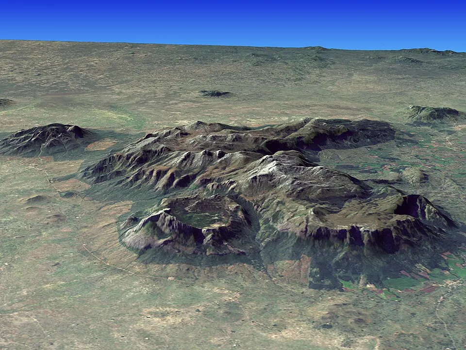
Malawi is a country in Eastern Africa, bordered by Mozambique, Tanzania, and Zambia. The nation has a population of about 22 million people and covers an area of 118,484 square kilometers, with Lilongwe serving as its capital.
Highlights
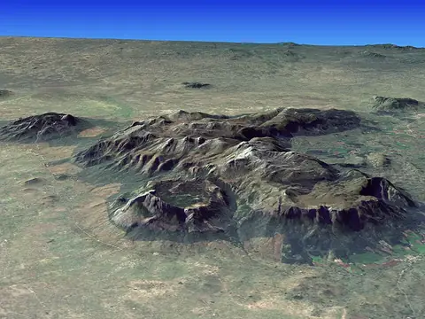
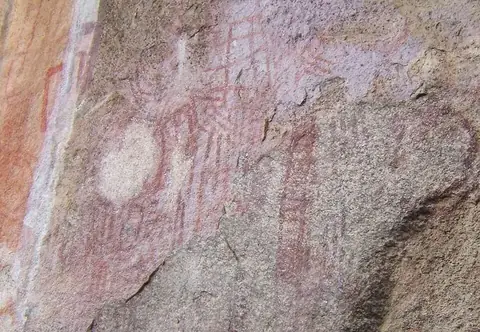
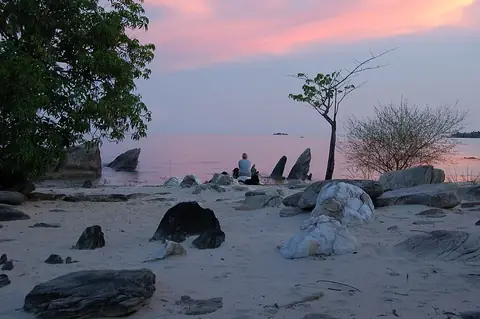
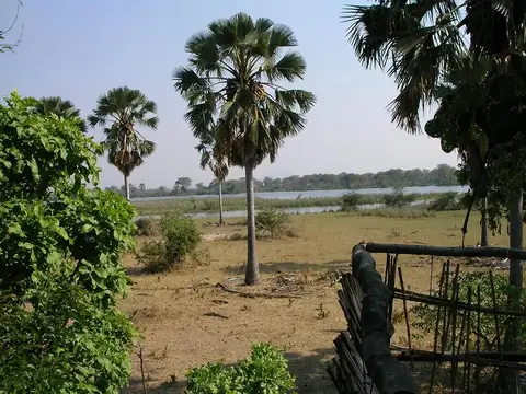
This guide covers 4 major sights. The country features three UNESCO World Heritage sites: the Mulanje Massif, which is the highest point in the country; the Chongoni Rock Art Area; and Lake Malawi National Park. Additionally, Liwonde National Park offers opportunities for wildlife viewing. Other locations worth a look include Majete Wildlife Reserve and Nyika National Park.
Food and drink
Local cuisine includes Kunga cake.
When to go
The weather in Lilongwe is generally dry from May through September, with very little rain and daily highs ranging from 23 °C to 27 °C. October and November are warmer, with highs reaching 29 °C to 30 °C. The rainy season occurs from December through April, with January being particularly wet, experiencing rain on about 28 days.
Practical notes
The currency is the Malawian kwacha. The official languages are English, Chewa, and Tumbuka. The country uses type G plugs with a voltage of 230 V. Traffic moves on the left side of the road. The time zone is UTC+02:00.
Food and drink to try in Malawi
- Kunga cake
Top sights in Malawi
Weather by month
The warmest month is November, with an average high of 30 °C. The wettest is January, with about 222 mm of rain.
| Jan | Feb | Mar | Apr | May | Jun | Jul | Aug | Sep | Oct | Nov | Dec | |
|---|---|---|---|---|---|---|---|---|---|---|---|---|
| Average high, °C | 26 | 26 | 26 | 26 | 25 | 23 | 23 | 25 | 27 | 29 | 30 | 28 |
| Average low, °C | 18 | 18 | 18 | 16 | 14 | 12 | 11 | 12 | 15 | 18 | 19 | 19 |
| Rainfall, mm | 222 | 188 | 125 | 32 | 5 | 1 | 2 | 1 | 2 | 9 | 55 | 165 |
| Rainy days | 28 | 24 | 21 | 8 | 1 | 1 | 1 | 1 | 0 | 3 | 9 | 24 |
Temperatures and rainfall: 1981–2010 averages for Lilongwe (4 km grid), from CHELSA. Rainy days: 2015–2024, NASA POWER.
Also worth a look
- Majete Wildlife Reserve
- Nyika National Park