Chongoni Rock Art Area
Malawi UNESCO World Heritage Site
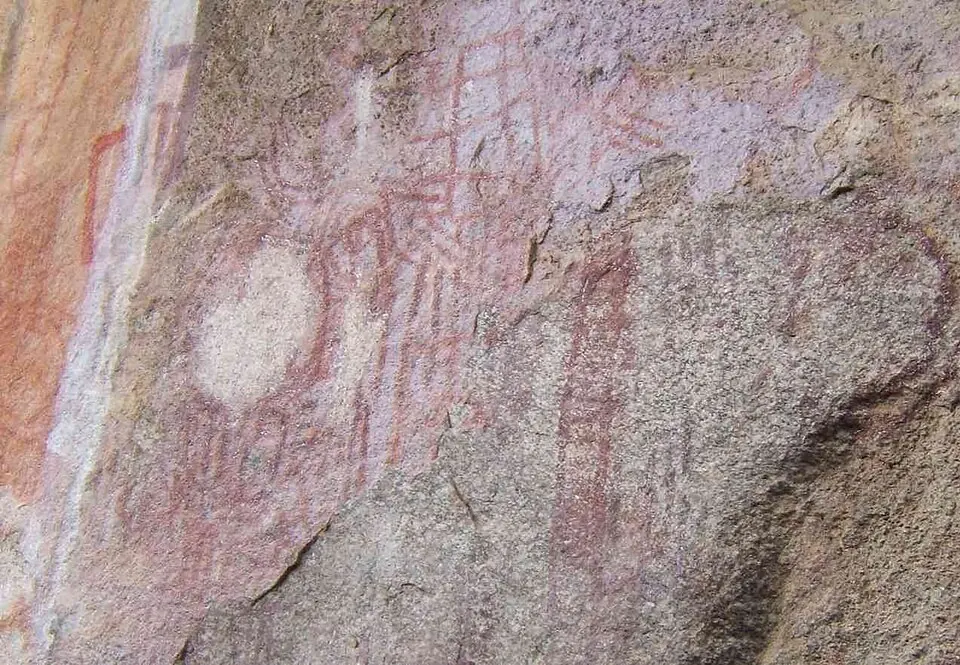
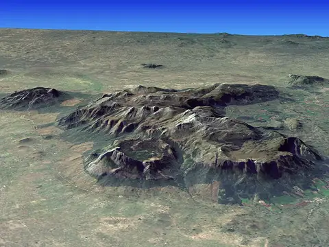
Chongoni Rock Art Area is an archaeological site in Malawi and a designated World Heritage Site. Covering 126 square kilometers at an elevation of 2,198 meters, it contains a high concentration of rock art. This location is one of the most looked-up sights in Malawi.
Planning a visit
The optimal time to visit is during the dry season, which spans from May to September. During this period, rainfall is minimal, with monthly precipitation ranging from 3 mm to 8 mm. Temperatures are mild, with daily highs between 18 °C and 22 °C and nightly lows between 9 °C and 13 °C. The wet season, occurring from December to March, brings significant rainfall, with January experiencing about 277 mm of rain over 27 days. Visitors should plan accordingly to avoid the wettest months.
The site is located 65 km from the capital, Lilongwe. Travelers arriving by air can use Kamuzu International Airport in Lumbadzi, which is 78 km away. The area covers 126 square kilometers and sits at an elevation of 2,198 meters, so visitors should prepare for the climate at this altitude.
Weather by month
The warmest month is November, with an average high of 24 °C. The wettest is January, with about 277 mm of rain.
| Jan | Feb | Mar | Apr | May | Jun | Jul | Aug | Sep | Oct | Nov | Dec | |
|---|---|---|---|---|---|---|---|---|---|---|---|---|
| Average high, °C | 22 | 22 | 22 | 21 | 20 | 19 | 18 | 20 | 23 | 24 | 24 | 23 |
| Average low, °C | 16 | 16 | 15 | 14 | 12 | 10 | 9 | 10 | 13 | 15 | 16 | 16 |
| Rainfall, mm | 277 | 242 | 164 | 43 | 8 | 3 | 4 | 5 | 5 | 15 | 70 | 218 |
| Rainy days | 27 | 25 | 22 | 10 | 2 | 2 | 2 | 1 | 0 | 4 | 12 | 24 |
Temperatures and rainfall: 1981–2010 averages for this spot (4 km grid), from CHELSA. Rainy days: 2015–2024, NASA POWER.