Comoros
Country · Africa, Eastern Africa
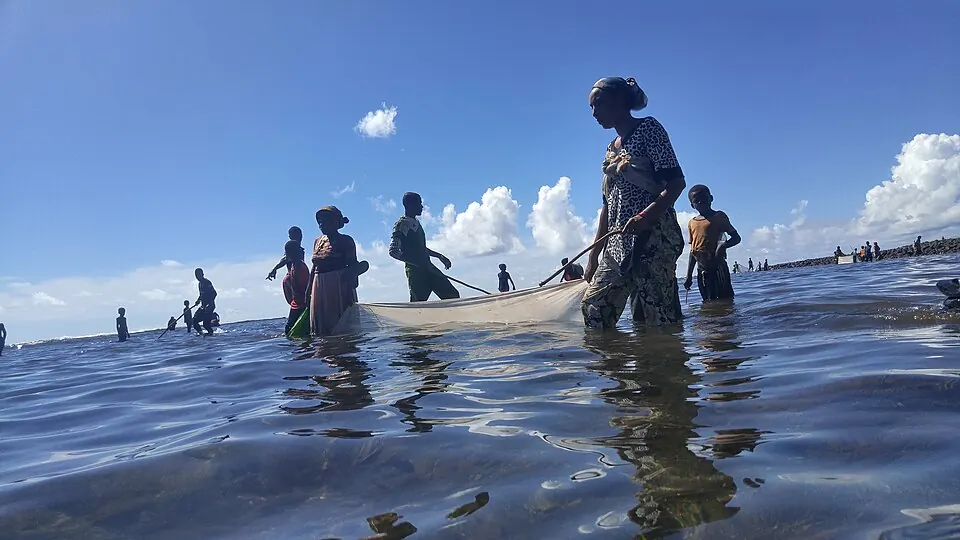
Comoros is a country in Eastern Africa with the capital Moroni. It covers an area of 2,034 square kilometers and has a population of about 883,000 in 2025. The country offers travelers a natural landscape featuring Mount Karthala.
Highlights
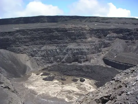
The site covers 1 top sight in total. Nature and outdoor sights include Mount Karthala, which is the highest point.
When to go
The climate at the capital Moroni shows average temperatures ranging from 24 °C to 27 °C throughout the year. Precipitation varies significantly by month based on averages from 1981 to 2010 and rainy days from 2015 to 2024. September is the driest month with an average of 52 mm of rain over about 5 days and an average temperature of 24 °C. January is the wettest month with 329 mm of rain on about 26 days and an average temperature of 27 °C.
Practical notes
Comoros uses the Comorian franc. Spoken languages are Comorian, Arabic, and French. Time zones are UTC+03:00. Driving is on the right side of the road. Plugs of type C and E are used, with a voltage of 220.0 V.
Top sights in Comoros
Weather by month
The warmest month is March, averaging 27 °C. The wettest is January, with about 329 mm of rain.
| Jan | Feb | Mar | Apr | May | Jun | Jul | Aug | Sep | Oct | Nov | Dec | |
|---|---|---|---|---|---|---|---|---|---|---|---|---|
| Average temperature, °C | 27 | 27 | 27 | 27 | 26 | 25 | 24 | 24 | 24 | 25 | 26 | 27 |
| Rainfall, mm | 329 | 255 | 234 | 164 | 116 | 108 | 83 | 66 | 52 | 85 | 109 | 227 |
| Rainy days | 26 | 22 | 25 | 25 | 14 | 13 | 12 | 6 | 5 | 7 | 8 | 16 |
Temperatures and rainfall: 1981–2010 averages for Moroni (4 km grid), from CHELSA. Rainy days: 2015–2024, NASA POWER.