Madagascar
Country · Africa, Eastern Africa
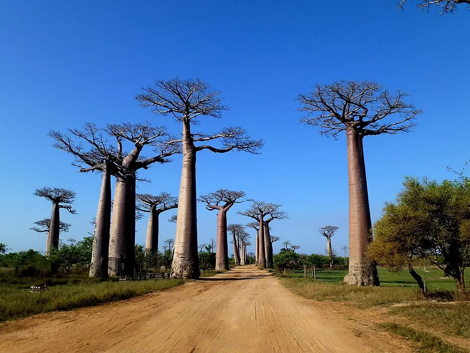
Madagascar is an island country in Eastern Africa, located in the Indian Ocean near neighbors including Comoros, Mozambique, and Seychelles. The capital is Antananarivo, and the nation spans about 587,000 square kilometers with a population of about 33 million people. It offers travelers diverse landscapes and natural environments.
Highlights
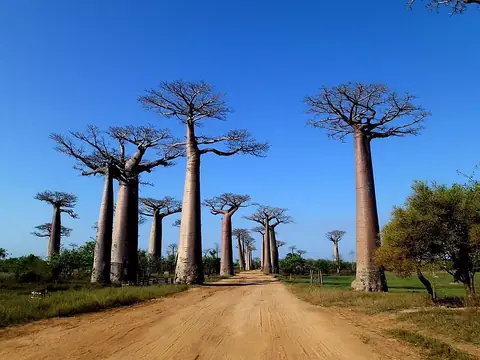
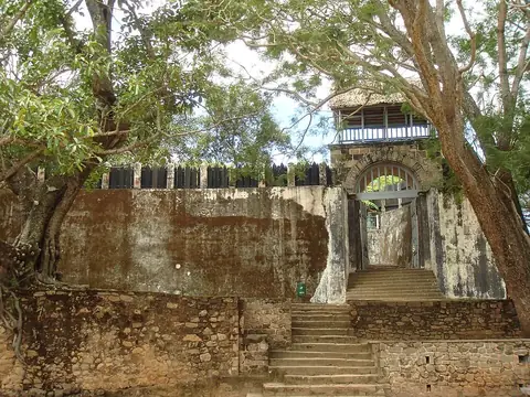
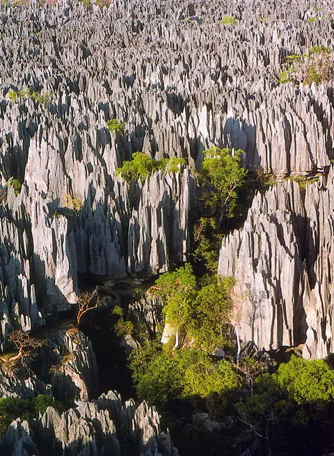
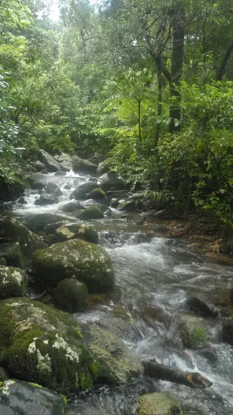
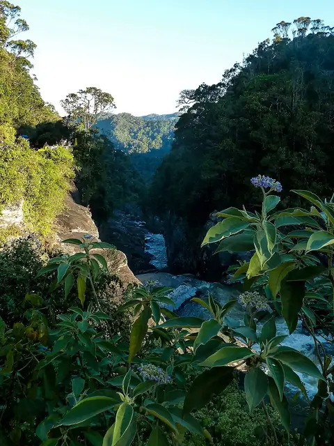
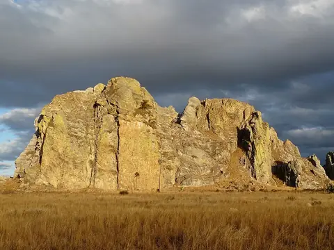
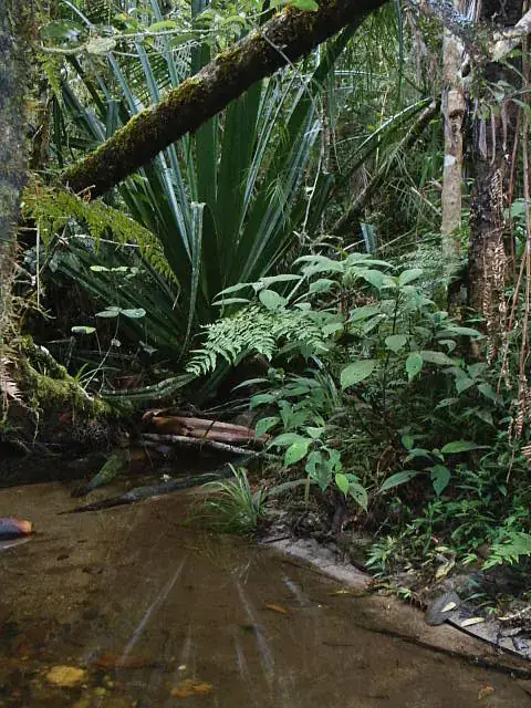
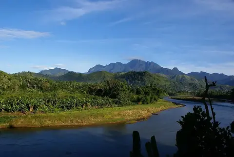
The country features 5 major sights, primarily focused on nature and heritage. Notable natural sites include the Avenue of the Baobabs, the Tsingy de Bemaraha Strict Nature Reserve, Masoala National Park, and Ranomafana National Park. For cultural interest, the site includes Ambohimanga.
Food and drink
Local dishes include romazava, koba, and mofo gasy.
When to go
The weather in the capital, Antananarivo, varies significantly by season. The months from May to September are the driest, with rainfall dropping to as low as 8 mm in June and 9 mm in July. These months are also cooler, with daily highs around 19 °C to 22 °C. The rainy season runs from November through March, with January being the wettest month, seeing 348 mm of rain over about 30 days.
Practical notes
The official currency is the ariary. Malagasy and French are the languages spoken. The country operates on UTC+03:00 time and follows right-hand traffic. Electrical outlets include types C, E, J, and K, with a voltage of 127 V.
Food and drink to try in Madagascar
- Romazava
- Koba
- Mofo gasy
Top sights in Madagascar
Weather by month
The warmest month is November, with an average high of 26 °C. The wettest is January, with about 348 mm of rain.
| Jan | Feb | Mar | Apr | May | Jun | Jul | Aug | Sep | Oct | Nov | Dec | |
|---|---|---|---|---|---|---|---|---|---|---|---|---|
| Average high, °C | 25 | 25 | 25 | 24 | 22 | 20 | 19 | 20 | 23 | 25 | 26 | 26 |
| Average low, °C | 17 | 17 | 17 | 15 | 13 | 11 | 10 | 10 | 11 | 13 | 15 | 16 |
| Rainfall, mm | 348 | 272 | 200 | 52 | 24 | 8 | 9 | 11 | 14 | 60 | 133 | 267 |
| Rainy days | 30 | 26 | 28 | 24 | 23 | 20 | 21 | 17 | 12 | 15 | 23 | 27 |
Temperatures and rainfall: 1981–2010 averages for Antananarivo (4 km grid), from CHELSA. Rainy days: 2015–2024, NASA POWER.
Also worth a look
- Andafiavaratra Palace
- Andringitra National Park
- Rainforests of the Atsinanana