Masoala National Park
Madagascar UNESCO World Heritage Site
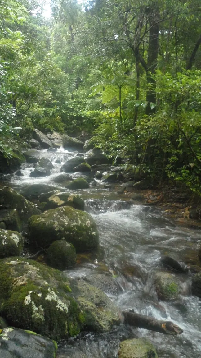
Masoala National Park is a national park and part of the UNESCO World Heritage Site Rainforests of the Atsinanana in Madagascar. Established in 1997 and operated by Madagascar National Parks, it covers an area of 2,400 square kilometers. It is one of the most looked-up sights in Madagascar on English Wikipedia, ranking 4 out of 8 sights of the country on this site.
Planning a visit
September and October have the lowest rainfall, with 200 mm and 191 mm of rain across about 22 days each, alongside daily highs of 23 °C to 24 °C and lows of 18 °C to 19 °C. The rainiest months are January through May, with monthly rainfall ranging from 391 mm to 513 mm and rain on 26 to 29 days. Temperatures peak at 28 °C in January and February, and drop to lows of 18 °C in July and August.
The nearest airport is Maroantsetra Airport in Maroantsetra, Madagascar, located 58 km away. Toamasina Ambalamanasy Airport in Toamasina is 287 km away. The park is located 459 km from the capital, Antananarivo.
Weather by month
The warmest month is January, with an average high of 28 °C. Rain is spread fairly evenly through the year.
| Jan | Feb | Mar | Apr | May | Jun | Jul | Aug | Sep | Oct | Nov | Dec | |
|---|---|---|---|---|---|---|---|---|---|---|---|---|
| Average high, °C | 28 | 28 | 27 | 26 | 25 | 23 | 22 | 22 | 23 | 24 | 26 | 27 |
| Average low, °C | 22 | 23 | 22 | 22 | 20 | 19 | 18 | 18 | 18 | 19 | 20 | 22 |
| Rainfall, mm | 426 | 504 | 513 | 470 | 391 | 355 | 381 | 312 | 200 | 191 | 217 | 383 |
| Rainy days | 29 | 26 | 29 | 28 | 28 | 26 | 27 | 24 | 23 | 22 | 22 | 26 |
Temperatures and rainfall: 1981–2010 averages for this spot (4 km grid), from CHELSA. Rainy days: 2015–2024, NASA POWER.