Ranomafana National Park
Madagascar UNESCO World Heritage Site
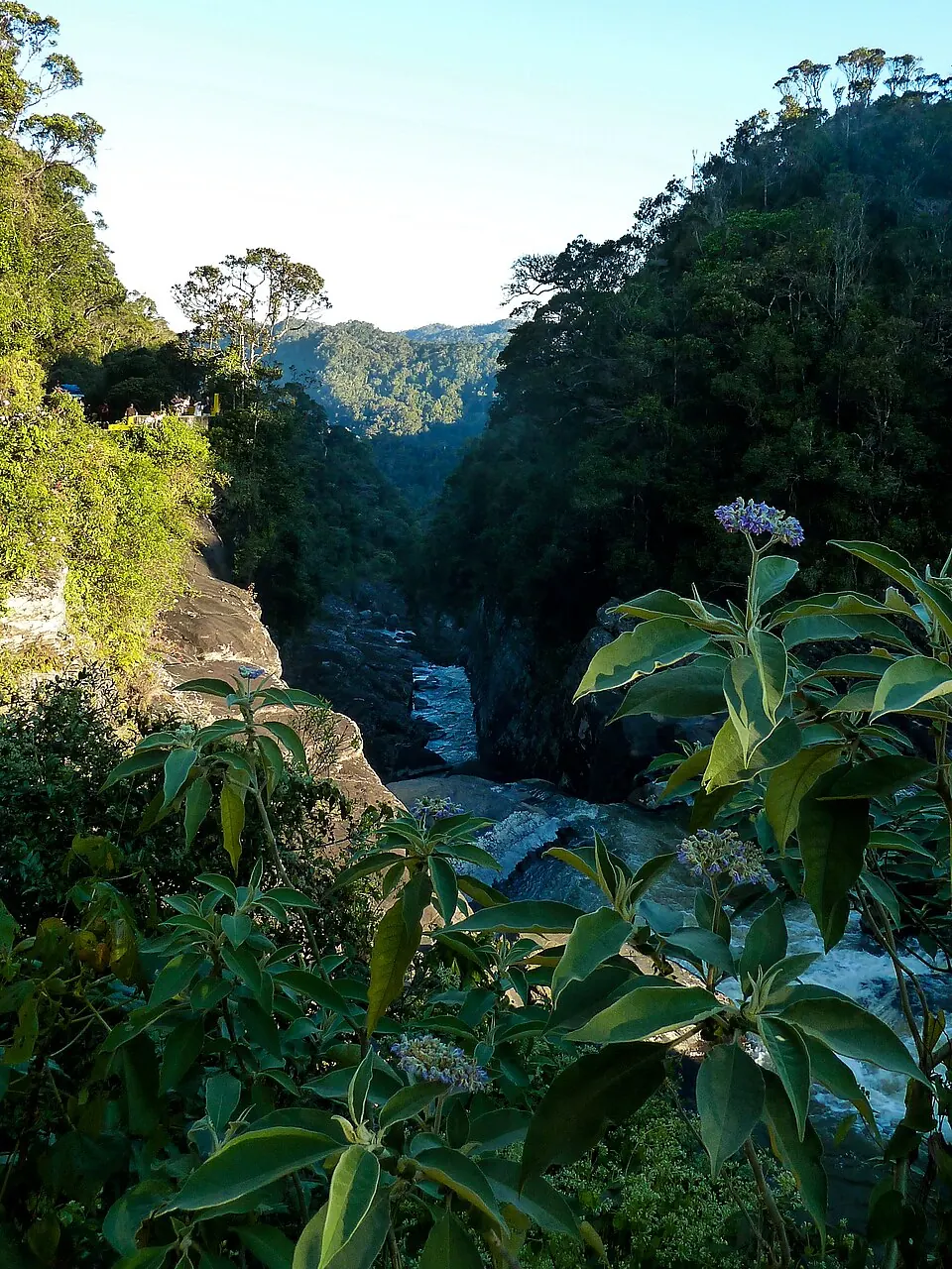
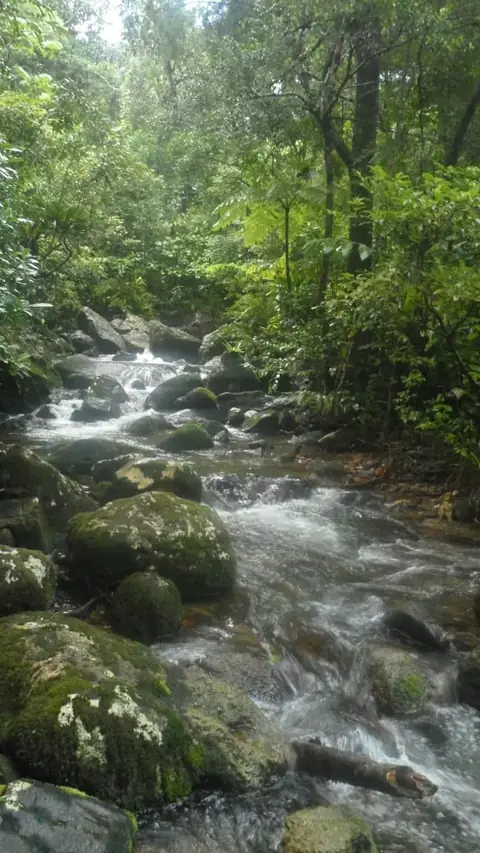
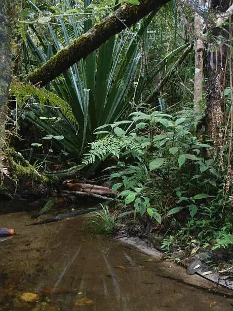
Established in 1991, Ranomafana National Park is a national park covering 416 km². It is part of the UNESCO World Heritage Site Rainforests of the Atsinanana. This protected area is one of the most looked-up sights in Madagascar.
Planning a visit
The climate in Ranomafana is characterized by significant rainfall throughout the year, peaking in the first three months. The wettest conditions occur from January through March, with monthly precipitation reaching up to 419 mm and rain falling on 26 to 29 days. Travelers looking for drier weather may prefer the period between June and September, when rain decreases to between 64 mm and 91 mm per month. During this drier period, temperatures are at their lowest, with daily lows around 9 °C to 10 °C and daily highs ranging from 16 °C to 17 °C.
The park is located 257 km from Antananarivo. The nearest airport is Mananjary Airport, situated 96 km away, while the Ivato International Airport in Antananarivo is 269 km from the park. Visitors can explore the park as part of a broader trip through the Rainforests of the Atsinanana, as the park is a designated part of this UNESCO site.
Weather by month
The warmest month is January, with an average high of 24 °C. The wettest is January, with about 419 mm of rain.
| Jan | Feb | Mar | Apr | May | Jun | Jul | Aug | Sep | Oct | Nov | Dec | |
|---|---|---|---|---|---|---|---|---|---|---|---|---|
| Average high, °C | 24 | 23 | 23 | 21 | 19 | 17 | 16 | 17 | 19 | 21 | 23 | 24 |
| Average low, °C | 16 | 17 | 16 | 15 | 13 | 10 | 9 | 10 | 11 | 13 | 14 | 16 |
| Rainfall, mm | 419 | 383 | 306 | 137 | 109 | 69 | 91 | 65 | 64 | 124 | 197 | 301 |
| Rainy days | 29 | 26 | 29 | 22 | 21 | 17 | 16 | 14 | 11 | 14 | 21 | 24 |
Temperatures and rainfall: 1981–2010 averages for this spot (4 km grid), from CHELSA. Rainy days: 2015–2024, NASA POWER.