Seychelles
Country · Africa, Eastern Africa
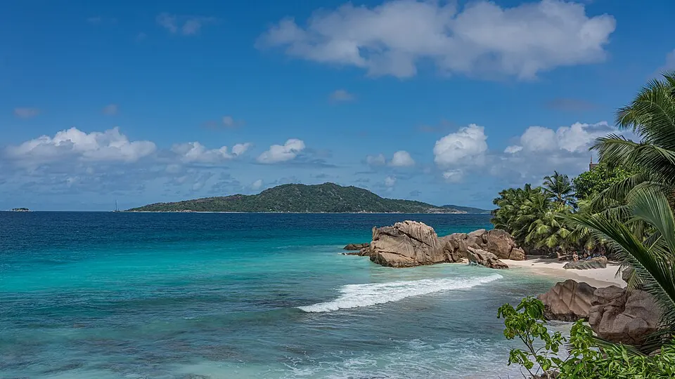
Seychelles is an island country located in Eastern Africa. The nation covers 459 square kilometers with a population of about 123,000 people and has Victoria as its capital. Travelers visit for its designated UNESCO sites and natural landscapes.
Highlights
This guide covers 3 major sights across the territory. The country features two UNESCO-listed locations: the Aldabra atoll and the Vallée de Mai. Additionally, travelers can visit Morne Seychellois, which serves as the highest point in the country.
Food and drink
Local cuisine includes dishes such as saffron rice and shark chutney. Ladob is another traditional food option found here.
When to go
The climate data for Victoria shows consistent temperatures throughout the year, ranging from an average of 24 °C in July to 27 °C in March and April. Rainfall varies significantly by month. The driest months are June and July, which see between 112 mm and 147 mm of rain. Conversely, the wettest periods occur in December and January, with monthly rainfall reaching up to 464 mm over 23 days. Visitors preferring drier weather may find the months from June through October more suitable for travel.
Practical notes
The official currency is the Seychellois rupee. French, English, and Seychellois Creole are spoken. The country uses Type G plugs with a voltage of 240 V. Traffic moves on the left side of the road. The time zone is UTC+04:00.
Food and drink to try in Seychelles
- Saffron rice
- Shark chutney
- Ladob
Top sights in Seychelles
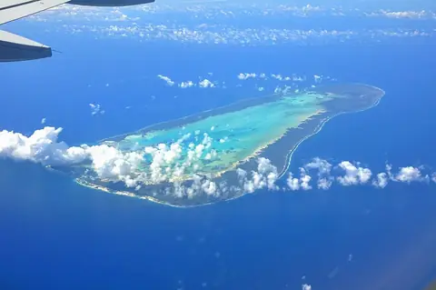
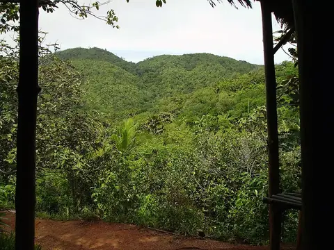
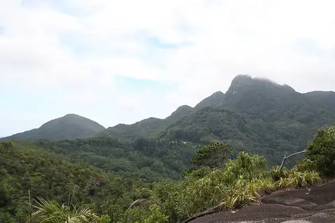
Weather by month
The warmest month is April, averaging 27 °C. The wettest is January, with about 464 mm of rain.
| Jan | Feb | Mar | Apr | May | Jun | Jul | Aug | Sep | Oct | Nov | Dec | |
|---|---|---|---|---|---|---|---|---|---|---|---|---|
| Average temperature, °C | 26 | 26 | 27 | 27 | 26 | 25 | 25 | 25 | 25 | 26 | 26 | 26 |
| Rainfall, mm | 464 | 239 | 233 | 213 | 195 | 147 | 112 | 149 | 206 | 210 | 238 | 392 |
| Rainy days | 23 | 17 | 18 | 21 | 22 | 18 | 15 | 16 | 18 | 15 | 19 | 22 |
Temperatures and rainfall: 1981–2010 averages for Victoria (4 km grid), from CHELSA. Rainy days: 2015–2024, NASA POWER.