Mauritius
Country · Africa, Eastern Africa
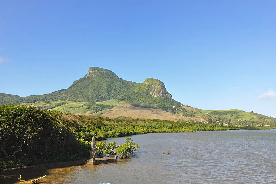
Mauritius is an island country located in Eastern Africa. With a population of about 1.2 million people and an area of 2,040 square kilometers, it features a capital city at Port Louis. The country offers travelers a variety of geographical and cultural landmarks.
Highlights
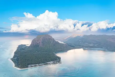
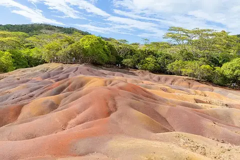
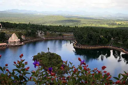
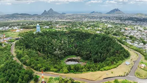
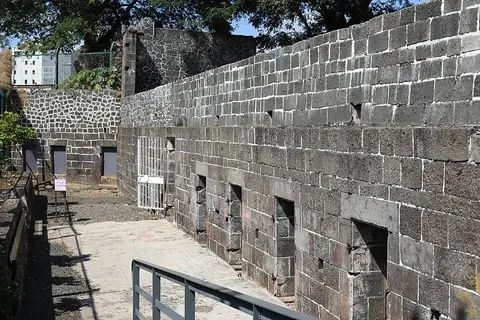
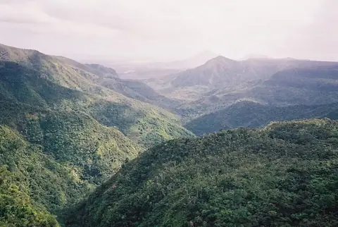
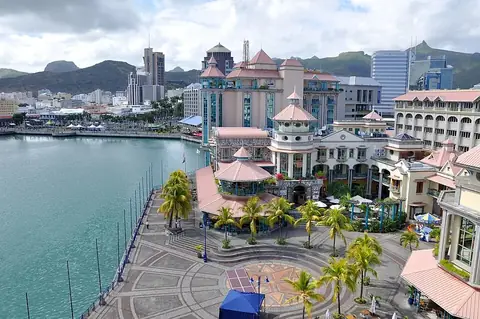
This guide covers 5 top sights. The island features protected natural and historical sites, including the UNESCO-listed Le Morne Brabant and the Aapravasi Ghat. For geological interests, the Seven Coloured Earths and the volcanic crater of Trou aux Cerfs are prominent locations. Cultural and religious sites include Ganga Talao, and the town of Chamarel is also notable. Other locations of interest include the Black River Gorges National Park, the Caudan Waterfront, and several botanical gardens, such as the Curepipe Botanic Gardens and the Sir Seewoosagur Ramgoolam Botanical Garden.
When to go
The climate at the capital, Port Louis, varies throughout the year. January through March are the warmest months, with daily highs around 28 °C, but these months also experience the highest rainfall, ranging from 187 mm to 265 mm. The weather becomes cooler and drier from June to September, with daily highs of 24 °C and lows of 20 °C to 21 °C. During this period, rainfall is significantly lower, dropping to between 54 mm and 70 mm per month, making it a drier time to visit.
Practical notes
The official languages are English and French. The currency is the Mauritian rupee. Travelers drive on the left side of the road. The country uses UTC+04:00 time. Electrical outlets accommodate type C and type G plugs, operating at a voltage of 230 V.
Top sights in Mauritius
Weather by month
The warmest month is January, with an average high of 28 °C. The wettest is February, with about 265 mm of rain.
| Jan | Feb | Mar | Apr | May | Jun | Jul | Aug | Sep | Oct | Nov | Dec | |
|---|---|---|---|---|---|---|---|---|---|---|---|---|
| Average high, °C | 28 | 28 | 28 | 27 | 26 | 24 | 24 | 24 | 24 | 25 | 26 | 28 |
| Average low, °C | 25 | 25 | 25 | 24 | 23 | 21 | 20 | 20 | 20 | 21 | 23 | 24 |
| Rainfall, mm | 220 | 265 | 187 | 161 | 92 | 54 | 70 | 58 | 56 | 46 | 55 | 138 |
| Rainy days | 17 | 16 | 20 | 18 | 12 | 11 | 8 | 6 | 5 | 6 | 8 | 11 |
Temperatures and rainfall: 1981–2010 averages for Port Louis (4 km grid), from CHELSA. Rainy days: 2015–2024, NASA POWER.
Also worth a look
- Jummah Mosque
- Maheswarnath Mandir