Chamarel
City in Mauritius
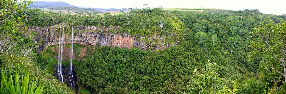
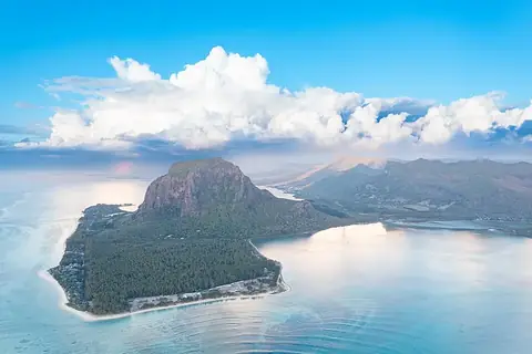
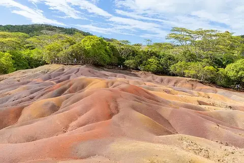
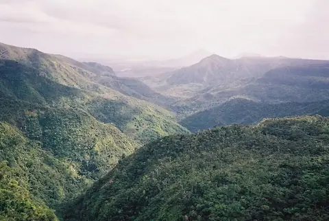
Chamarel is a town in Mauritius located 31 km from the capital Port Louis. Visitors are drawn to the area by sights such as Le Morne Brabant, the Seven Coloured Earths, and Black River Gorges National Park.
What to see
The area features natural sights, including the UNESCO-listed Le Morne Brabant and the Seven Coloured Earths. Visitors can also explore the Black River Gorges National Park.
When to go
Daily high temperatures range from 22 °C in July and August to 27 °C between December and March. Rainfall varies through the year, with the driest conditions occurring between September and November, which see rain on 6 to 8 days per month. The wettest months are January through April, with monthly rainfall totals between 179 mm and 268 mm and rain on 15 to 19 days.
Getting there
The nearest airport is Sir Seewoosagur Ramgoolam International Airport in Plaine Magnien, located 30 km away.
Top sights in Chamarel
Weather by month
The warmest month is January, with an average high of 27 °C. The wettest is February, with about 268 mm of rain.
| Jan | Feb | Mar | Apr | May | Jun | Jul | Aug | Sep | Oct | Nov | Dec | |
|---|---|---|---|---|---|---|---|---|---|---|---|---|
| Average high, °C | 27 | 27 | 27 | 26 | 25 | 23 | 22 | 22 | 23 | 24 | 25 | 27 |
| Average low, °C | 24 | 24 | 24 | 23 | 22 | 20 | 19 | 19 | 19 | 20 | 21 | 23 |
| Rainfall, mm | 225 | 268 | 201 | 179 | 113 | 71 | 97 | 75 | 70 | 54 | 64 | 158 |
| Rainy days | 15 | 15 | 19 | 19 | 12 | 12 | 9 | 7 | 6 | 7 | 8 | 10 |
Temperatures and rainfall: 1981–2010 averages for Chamarel (4 km grid), from CHELSA. Rainy days: 2015–2024, NASA POWER.