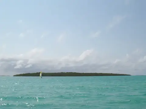
Black River Gorges National Park
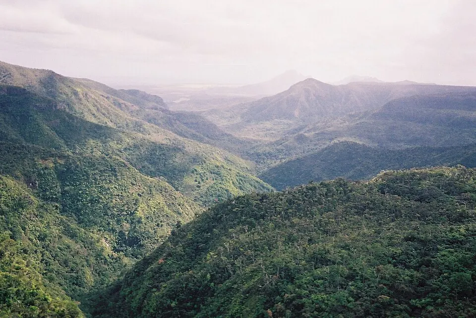
Black River Gorges National Park is a 66-square-kilometer national park established in 1994. It is currently recognized as a tentative World Heritage Site in Mauritius.
Planning a visit
The park is located 30 kilometers from the capital, Port Louis, and 28 kilometers from Sir Seewoosagur Ramgoolam International Airport. The best time to visit for drier weather is from August to November, when monthly rainfall ranges between 60 mm and 83 mm and rainy days are limited to 6 to 8 days per month. Temperatures during these months are cooler, with highs around 20 °C to 24 °C and lows of 17 °C to 20 °C. The summer months from January to March see significantly higher rainfall, often exceeding 200 mm per month on up to 19 rainy days.
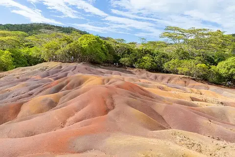
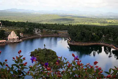
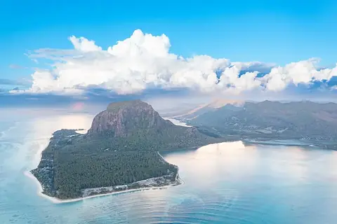
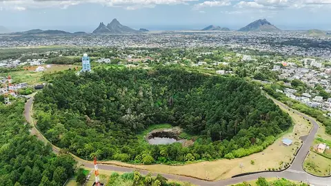
You can combine a visit to the park with several nearby locations. The Seven Coloured Earths are 5.2 kilometers away, and Ganga Talao is 7.8 kilometers from the park. Other accessible sites include Le Morne Brabant, located 11.8 kilometers away, as well as Trou aux Cerfs and the Curepipe Botanic Gardens, which are both within 15 kilometers.
Weather by month
The warmest month is January, with an average high of 26 °C. The wettest is February, with about 290 mm of rain.
| Jan | Feb | Mar | Apr | May | Jun | Jul | Aug | Sep | Oct | Nov | Dec | |
|---|---|---|---|---|---|---|---|---|---|---|---|---|
| Average high, °C | 26 | 26 | 26 | 25 | 23 | 21 | 20 | 20 | 21 | 22 | 24 | 25 |
| Average low, °C | 22 | 23 | 22 | 22 | 20 | 18 | 17 | 17 | 17 | 18 | 20 | 21 |
| Rainfall, mm | 243 | 290 | 218 | 196 | 124 | 79 | 107 | 83 | 77 | 60 | 70 | 172 |
| Rainy days | 15 | 15 | 19 | 19 | 12 | 12 | 9 | 7 | 6 | 7 | 8 | 10 |
Temperatures and rainfall: 1981–2010 averages for this spot (4 km grid), from CHELSA. Rainy days: 2015–2024, NASA POWER.