Seven Coloured Earths
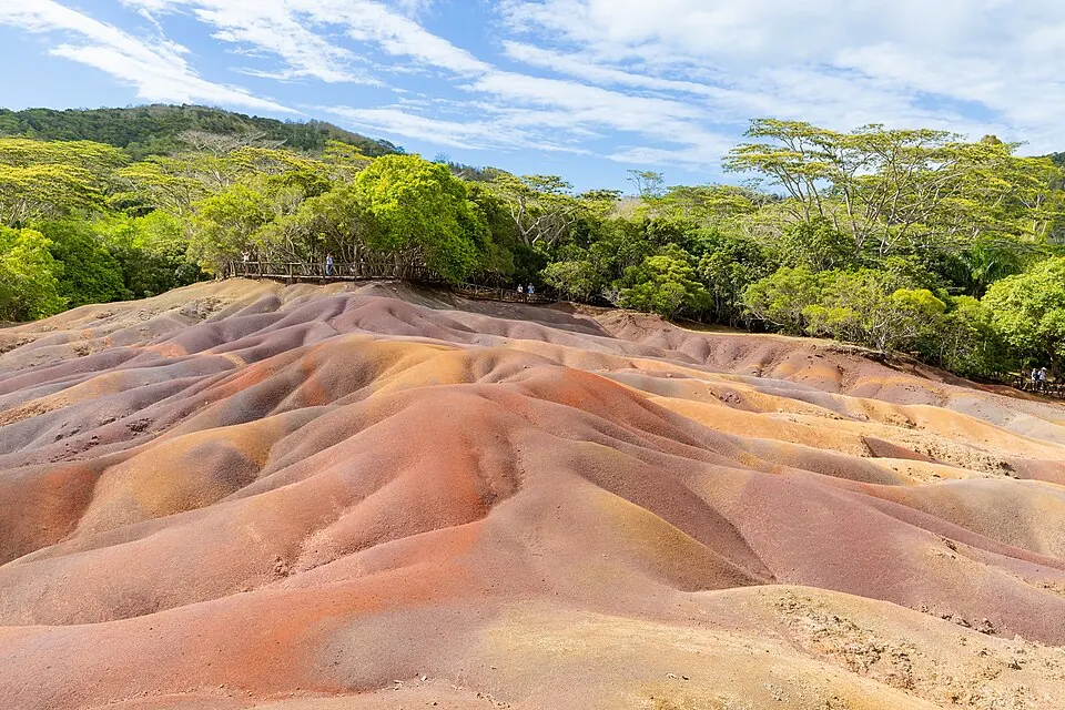
The Seven Coloured Earths is a geological formation located on the Chamarel plain in Mauritius. It ranks as the second most looked-up sight in the country on English Wikipedia.
Planning a visit
The climate in Chamarel is relatively consistent, though rainfall varies throughout the year. The driest months are August, September, and October, with monthly rainfall ranging from 55 mm to 77 mm over 6 to 7 rainy days. These months are also the coolest, with daily highs of 22 °C to 23 °C and lows of 18 °C to 20 °C. The period from January to April is significantly wetter, with monthly rainfall totals between 181 mm and 266 mm, occurring on 15 to 19 days.
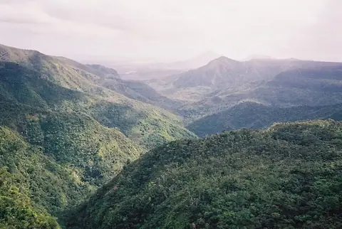
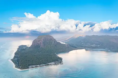
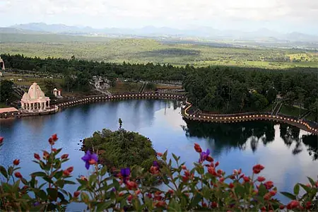
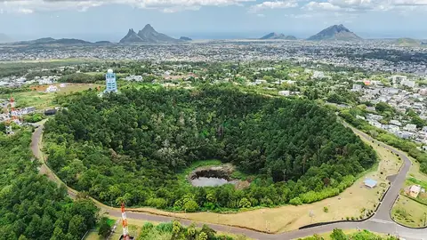
The Seven Coloured Earths are situated on the Chamarel plain. Travelers arriving by air can reach the site from Sir Seewoosagur Ramgoolam International Airport (MRU) in Plaine Magnien, which is 32 km away. The capital, Port Louis, is 34 km from the site. Visitors frequently combine their visit with nearby attractions. Black River Gorges National Park is 5.2 km away, and Le Morne Brabant is 6.6 km away. Other nearby points of interest include Ganga Talao at 12.6 km, Trou aux Cerfs at 19.8 km, and Curepipe Botanic Gardens at 20.0 km.
Weather by month
The warmest month is January, with an average high of 27 °C. The wettest is February, with about 266 mm of rain.
| Jan | Feb | Mar | Apr | May | Jun | Jul | Aug | Sep | Oct | Nov | Dec | |
|---|---|---|---|---|---|---|---|---|---|---|---|---|
| Average high, °C | 27 | 27 | 27 | 26 | 24 | 23 | 22 | 22 | 22 | 23 | 25 | 26 |
| Average low, °C | 24 | 24 | 24 | 23 | 21 | 20 | 19 | 19 | 19 | 20 | 21 | 23 |
| Rainfall, mm | 221 | 266 | 202 | 181 | 116 | 74 | 101 | 77 | 71 | 55 | 64 | 158 |
| Rainy days | 15 | 15 | 19 | 19 | 12 | 12 | 9 | 7 | 6 | 7 | 8 | 10 |
Temperatures and rainfall: 1981–2010 averages for this spot (4 km grid), from CHELSA. Rainy days: 2015–2024, NASA POWER.