Trou aux Cerfs

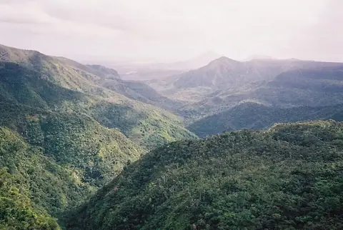
Trou aux Cerfs is a mountain located in Curepipe, Mauritius, reaching an elevation of 605 meters. It is one of the most looked-up sights in the country on English Wikipedia. Visitors can explore this notable mountain and its surrounding region.
Planning a visit
The months from September through November experience lower rainfall, with totals between 71 mm and 85 mm and rain on 6 to 8 days, alongside daily highs from 21 °C to 24 °C and lows from 16 °C to 19 °C. January and February are the wettest months, recording 289 mm to 345 mm of rain across about 15 days each, with daily highs of 26 °C and lows of 22 °C.
The nearest airport is Sir Seewoosagur Ramgoolam International Airport in Plaine Magnien, located 22 km away. The mountain is 17 km from the capital, Port Louis. Nearby sights include Curepipe Botanic Gardens at 1.8 km, Ganga Talao at 11.3 km, Black River Gorges National Park at 14.8 km, Caudan Waterfront at 17.5 km, and Aapravasi Ghat at 17.8 km.
Weather by month
The warmest month is January, with an average high of 26 °C. The wettest is February, with about 345 mm of rain.
| Jan | Feb | Mar | Apr | May | Jun | Jul | Aug | Sep | Oct | Nov | Dec | |
|---|---|---|---|---|---|---|---|---|---|---|---|---|
| Average high, °C | 26 | 26 | 25 | 25 | 23 | 21 | 20 | 20 | 21 | 22 | 24 | 25 |
| Average low, °C | 22 | 22 | 22 | 21 | 19 | 17 | 16 | 16 | 17 | 18 | 19 | 21 |
| Rainfall, mm | 289 | 345 | 252 | 228 | 139 | 87 | 112 | 92 | 85 | 71 | 85 | 200 |
| Rainy days | 15 | 15 | 19 | 19 | 12 | 12 | 9 | 7 | 6 | 7 | 8 | 10 |
Temperatures and rainfall: 1981–2010 averages for this spot (4 km grid), from CHELSA. Rainy days: 2015–2024, NASA POWER.