Curepipe
City in Mauritius

Curepipe is a city in Mauritius with a population of 77,466 in 2011. Located 17 km from Port Louis, it draws visitors to its sights including the Trou aux Cerfs and Curepipe Botanic Gardens.
What to see
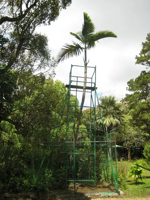
Visitors can explore the volcanic crater of Trou aux Cerfs and the green spaces of the Curepipe Botanic Gardens.
When to go
The months from September through November experience lower rainfall, with totals between 71 mm and 85 mm and daily highs from 21 °C to 24 °C. January through April bring heavier rain, exceeding 200 mm per month, alongside daily highs of 25 °C to 26 °C and lows of 21 °C to 22 °C. Temperatures drop lowest between June and August, reaching daily highs of 20 °C to 21 °C and lows of 16 °C to 17 °C.
Getting there
The nearest airport is Sir Seewoosagur Ramgoolam International Airport in Plaine Magnien, located 21 km away.
Top sights in Curepipe

Weather by month
The warmest month is January, with an average high of 26 °C. The wettest is February, with about 345 mm of rain.
| Jan | Feb | Mar | Apr | May | Jun | Jul | Aug | Sep | Oct | Nov | Dec | |
|---|---|---|---|---|---|---|---|---|---|---|---|---|
| Average high, °C | 26 | 26 | 25 | 25 | 23 | 21 | 20 | 20 | 21 | 22 | 24 | 25 |
| Average low, °C | 22 | 22 | 22 | 21 | 19 | 17 | 16 | 16 | 17 | 18 | 19 | 21 |
| Rainfall, mm | 289 | 345 | 252 | 228 | 139 | 87 | 112 | 92 | 85 | 71 | 85 | 200 |
| Rainy days | 15 | 15 | 19 | 19 | 12 | 12 | 9 | 7 | 6 | 7 | 8 | 10 |
Temperatures and rainfall: 1981–2010 averages for Curepipe (4 km grid), from CHELSA. Rainy days: 2015–2024, NASA POWER.