Mount Karthala
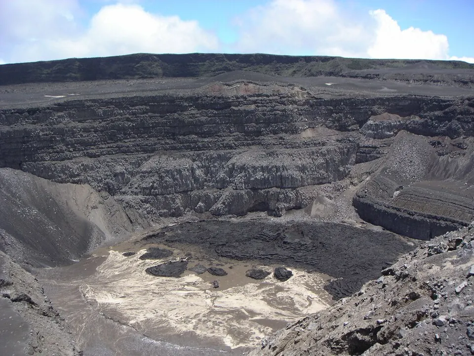
Mount Karthala is a shield volcano located in Comoros. Standing at 2,361 meters, it is part of the Comoros hotspot and is recognized as a Ramsar site. It is the most looked-up sight in the country on English Wikipedia.
Planning a visit
The driest and clearest conditions for visiting occur from August through October, when monthly rainfall drops to between 57 mm and 100 mm over 3 to 10 days. Temperatures during these cooler months average between 12 °C and 14 °C. The rainy season peaks from January through April, with rainfall exceeding 190 mm each month and frequent wet days.
Prince Said Ibrahim International Airport in Moroni is the nearest airport, located 27 km away. The volcano itself is 13 km from the capital, Moroni.
Weather by month
The warmest month is February, averaging 16 °C. The wettest is January, with about 333 mm of rain.
| Jan | Feb | Mar | Apr | May | Jun | Jul | Aug | Sep | Oct | Nov | Dec | |
|---|---|---|---|---|---|---|---|---|---|---|---|---|
| Average temperature, °C | 16 | 16 | 16 | 16 | 15 | 13 | 12 | 12 | 13 | 14 | 15 | 16 |
| Rainfall, mm | 333 | 258 | 255 | 192 | 144 | 134 | 100 | 77 | 57 | 96 | 124 | 248 |
| Rainy days | 27 | 23 | 24 | 24 | 13 | 12 | 10 | 5 | 3 | 5 | 8 | 15 |
Temperatures and rainfall: 1981–2010 averages for this spot (4 km grid), from CHELSA. Rainy days: 2015–2024, NASA POWER.