Gorongosa National Park
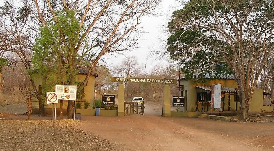
Gorongosa National Park is a national park located in Sofala, Mozambique. Established in 1960 and covering an area of 4,000 square kilometers, it is one of the sights in the country. It is also one of the most looked-up sights in Mozambique on English Wikipedia.
Planning a visit
The park experiences warm temperatures throughout the year, with daily highs reaching between 26 °C in July and 33 °C in October and November, and lows ranging from 16 °C in June, July, and August to 23 °C in January, February, March, and December. Rainfall varies significantly by month. The rainiest period runs from December through March, with monthly rainfall totals between 179 mm and 217 mm and about 16 to 20 rainy days per month. Drier conditions occur from May through September, with monthly rainfall dropping between 17 mm and 27 mm and rainy days decreasing to about 3 to 6 per month.
The nearest airport is Chimoio Airport in Chimoio, Mozambique, located 121 km away. Beira International Airport in Beira, Mozambique, serves as a hub and is located 122 km away. The park is situated 825 km from the capital city of Maputo.
Weather by month
The warmest month is November, with an average high of 33 °C. The wettest is January, with about 217 mm of rain.
| Jan | Feb | Mar | Apr | May | Jun | Jul | Aug | Sep | Oct | Nov | Dec | |
|---|---|---|---|---|---|---|---|---|---|---|---|---|
| Average high, °C | 32 | 31 | 31 | 30 | 28 | 27 | 26 | 28 | 31 | 33 | 33 | 32 |
| Average low, °C | 23 | 23 | 23 | 21 | 18 | 16 | 16 | 17 | 19 | 21 | 23 | 23 |
| Rainfall, mm | 217 | 201 | 179 | 70 | 27 | 19 | 23 | 19 | 17 | 44 | 84 | 213 |
| Rainy days | 20 | 18 | 17 | 12 | 5 | 5 | 6 | 3 | 3 | 5 | 11 | 16 |
Temperatures and rainfall: 1981–2010 averages for this spot (4 km grid), from CHELSA. Rainy days: 2015–2024, NASA POWER.