Chobe National Park
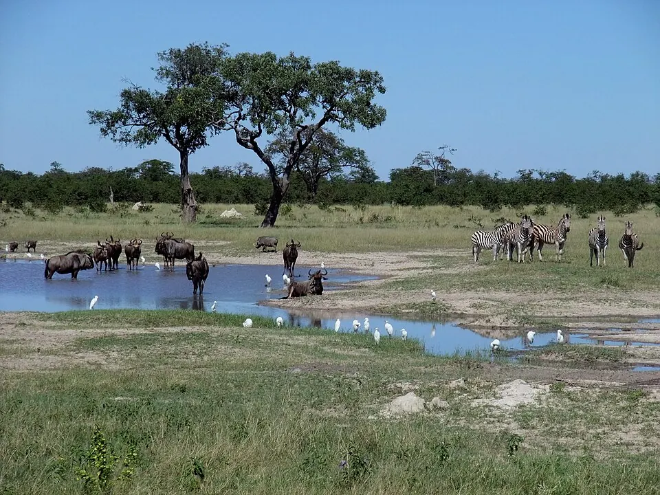
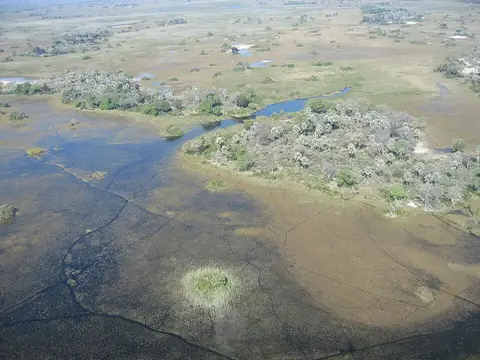
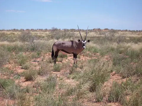
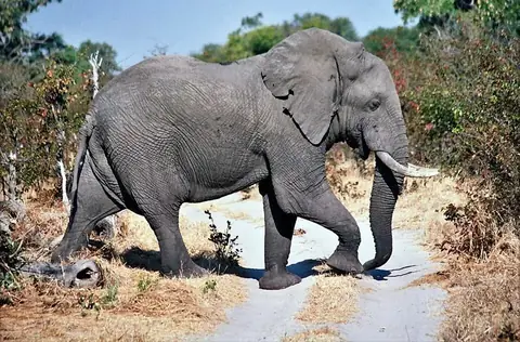
Chobe National Park is a national park located in Botswana spanning across Chobe District and North-West District. Established in 1967, it covers an area of 11,700 square kilometres and is a tentative World Heritage Site. It is one of the most looked-up sights in the country on English Wikipedia.
Planning a visit
The park experiences varying monthly conditions. Temperatures range from a high of 34 °C in October to a low of 11 °C in July. Rainfall is highest in January with 129 mm across about 21 days, while June, July, and August see minimal rain with 0 mm on about 0 days.
To reach the park, the nearest airport is Katima Mulilo Airport in Mpacha, Namibia, located 115 km away, while Kasane International Airport in Kasane, Botswana serves as a hub at 122 km away. The park is situated 686 km from the capital city of Gaborone.
Weather by month
The warmest month is October, with an average high of 34 °C. The wettest is January, with about 129 mm of rain.
| Jan | Feb | Mar | Apr | May | Jun | Jul | Aug | Sep | Oct | Nov | Dec | |
|---|---|---|---|---|---|---|---|---|---|---|---|---|
| Average high, °C | 30 | 30 | 30 | 29 | 27 | 25 | 25 | 28 | 32 | 34 | 33 | 31 |
| Average low, °C | 21 | 20 | 20 | 18 | 15 | 12 | 11 | 13 | 17 | 21 | 21 | 21 |
| Rainfall, mm | 129 | 105 | 64 | 17 | 3 | 3 | 0 | 0 | 2 | 19 | 60 | 101 |
| Rainy days | 21 | 16 | 13 | 6 | 0 | 0 | 0 | 0 | 0 | 1 | 9 | 18 |
Temperatures and rainfall: 1981–2010 averages for this spot (4 km grid), from CHELSA. Rainy days: 2015–2024, NASA POWER.