Gabon
Country · Africa, Middle Africa
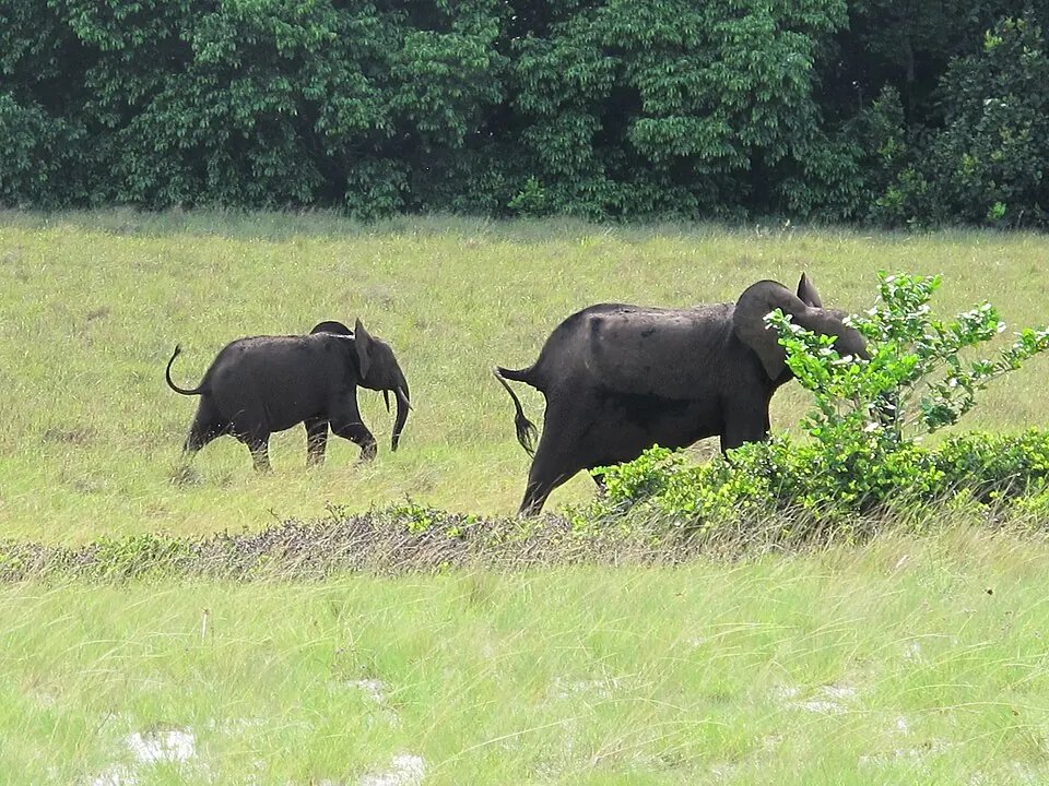
Located in Middle Africa, Gabon covers an area of about 268,000 square kilometers and has a population of approximately 2.6 million. Its capital is Libreville. The country offers access to unique national parks and natural areas.
Highlights
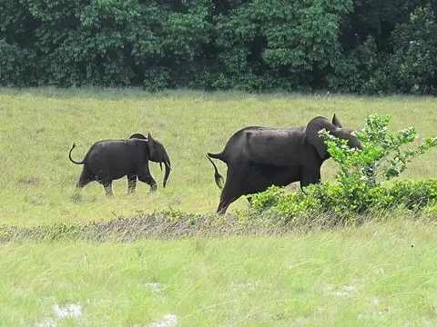
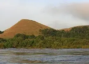
This guide covers 2 primary sights in Gabon. Both are national parks. Loango National Park and Lopé National Park are the main destinations for travellers visiting the country. Additionally, Ivindo National Park is worth a look.
When to go
The climate at the capital, Libreville, features distinct wet and dry seasons. The driest months are June, July, and August, when rainfall drops significantly to between 16 mm and 80 mm over 3 to 7 days, and daily temperatures range from 23 °C to 27 °C. The rest of the year is generally wetter, with the highest rainfall occurring in October and November, seeing up to 522 mm of rain over nearly 30 days.
Practical notes
The official language is French, and the currency is the Central African CFA franc. The country uses UTC+01:00 time zone. Electrical outlets are type C, operating at 220 V. Traffic moves on the right side of the road. The international calling code is +241.
Top sights in Gabon
Weather by month
The warmest month is March, with an average high of 29 °C. The wettest is October, with about 522 mm of rain.
| Jan | Feb | Mar | Apr | May | Jun | Jul | Aug | Sep | Oct | Nov | Dec | |
|---|---|---|---|---|---|---|---|---|---|---|---|---|
| Average high, °C | 28 | 28 | 29 | 29 | 28 | 27 | 26 | 26 | 27 | 27 | 28 | 28 |
| Average low, °C | 24 | 25 | 25 | 25 | 25 | 24 | 23 | 23 | 24 | 24 | 24 | 24 |
| Rainfall, mm | 271 | 257 | 340 | 331 | 291 | 80 | 16 | 25 | 158 | 522 | 499 | 333 |
| Rainy days | 23 | 21 | 26 | 24 | 22 | 7 | 3 | 4 | 16 | 29 | 29 | 25 |
Temperatures and rainfall: 1981–2010 averages for Libreville (4 km grid), from CHELSA. Rainy days: 2015–2024, NASA POWER.
Also worth a look
- Ivindo National Park