São Tomé and Príncipe
Country · Africa, Middle Africa
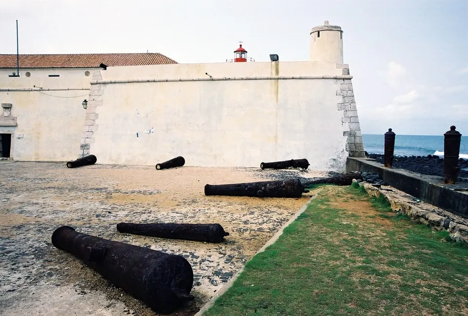
São Tomé and Príncipe is an island nation in Middle Africa, located near Equatorial Guinea, Gabon, and Nigeria. It covers 1,001 square kilometers and has a population of about 240,000 people. The capital city is São Tomé.
Highlights
This guide covers 1 sight in the country. The São Sebastião Museum is located in the capital.
When to go
The climate data for the capital shows distinct wet and dry seasons. Temperatures are relatively consistent throughout the year, averaging between 24 °C and 27 °C. The driest months are June, July, and August, which see significantly less rainfall compared to the rest of the year. For example, July and August each have fewer than 10 days of rain, while other months like March, April, and November often experience rain on nearly every day.
Practical notes
The official language is Portuguese, and the currency is the São Tomé and Príncipe dobra. The country uses 220 V electricity with plug types C and F. Traffic moves on the right side of the road. The time zone is UTC±00:00.
Top sights in São Tomé and Príncipe
Weather by month
The warmest month is March, averaging 27 °C. The wettest is November, with about 179 mm of rain.
| Jan | Feb | Mar | Apr | May | Jun | Jul | Aug | Sep | Oct | Nov | Dec | |
|---|---|---|---|---|---|---|---|---|---|---|---|---|
| Average temperature, °C | 26 | 27 | 27 | 27 | 26 | 25 | 24 | 24 | 25 | 25 | 26 | 26 |
| Rainfall, mm | 110 | 90 | 140 | 144 | 131 | 27 | 12 | 17 | 53 | 160 | 179 | 94 |
| Rainy days | 25 | 22 | 29 | 27 | 26 | 14 | 9 | 8 | 13 | 27 | 29 | 28 |
Temperatures and rainfall: 1981–2010 averages for São Tomé (4 km grid), from CHELSA. Rainy days: 2015–2024, NASA POWER.