Mbamu
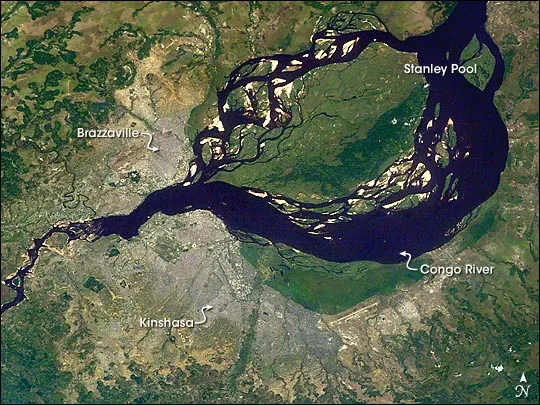
Mbamu is a river island and island located in Brazzaville in the Republic of the Congo. Covering an area of 172 square kilometers, it is one of the sights of the country on this site and ranks number 1 by English Wikipedia lookups among the country's sights.
Planning a visit
The drier months of June, July, and August have daily highs around 29 °C to 30 °C, lows of 20 °C to 21 °C, and very little rain, with only 2 to 5 rainy days per month. Other months experience significantly more rainfall, peaking in November with 263 mm of rain over about 28 days. Temperatures remain consistent year-round, with daily highs between 29 °C and 31 °C and lows from 20 °C to 23 °C.
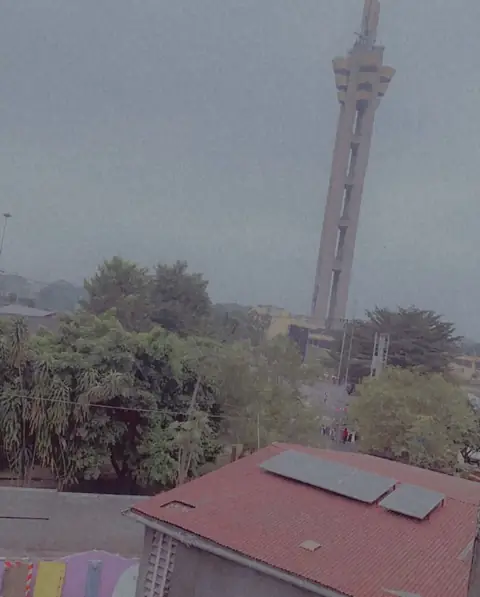
The nearest airport is Maya-Maya International Airport in Brazzaville, situated 18 km away. The site is 17 km from the capital of Brazzaville. Nearby places to visit include Limete Tower at 19.3 km and Lola ya Bonobo at 34.3 km.
Weather by month
The warmest month is September, with an average high of 31 °C. The wettest is November, with about 263 mm of rain.
| Jan | Feb | Mar | Apr | May | Jun | Jul | Aug | Sep | Oct | Nov | Dec | |
|---|---|---|---|---|---|---|---|---|---|---|---|---|
| Average high, °C | 29 | 30 | 30 | 30 | 30 | 29 | 30 | 30 | 31 | 30 | 29 | 29 |
| Average low, °C | 23 | 23 | 23 | 23 | 23 | 21 | 20 | 21 | 22 | 23 | 23 | 23 |
| Rainfall, mm | 164 | 153 | 174 | 213 | 132 | 8 | 2 | 8 | 39 | 159 | 263 | 193 |
| Rainy days | 24 | 23 | 24 | 25 | 20 | 3 | 2 | 5 | 18 | 27 | 28 | 28 |
Temperatures and rainfall: 1981–2010 averages for this spot (4 km grid), from CHELSA. Rainy days: 2015–2024, NASA POWER.