Korup National Park
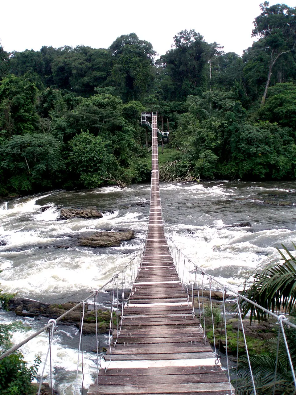
Korup National Park is a national park in Cameroon that was established in 1986 and covers an area of 1261 square kilometers. It is recognized as a tentative World Heritage Site and ranks as the second most looked-up sight in the country on English Wikipedia.
Planning a visit
January and December are the driest months, with rain falling on about 4 to 5 days and monthly rainfall totals of 27 to 30 mm, alongside daily highs of 29 °C to 30 °C and lows of 22 °C. From July to August, rainfall reaches its peak with 537 mm to 543 mm spread across about 30 rainy days each month, while daily temperatures range from highs of 26 °C to lows of 21 °C.
The nearest airport is Margaret Ekpo International Airport in Calabar, Nigeria, located 56 km away, while Malabo International Airport in Malabo, Equatorial Guinea, is 150 km away. The park is located 327 km from the capital city of Yaoundé.
Weather by month
The warmest month is February, with an average high of 31 °C. The wettest is July, with about 543 mm of rain.
| Jan | Feb | Mar | Apr | May | Jun | Jul | Aug | Sep | Oct | Nov | Dec | |
|---|---|---|---|---|---|---|---|---|---|---|---|---|
| Average high, °C | 30 | 31 | 30 | 29 | 28 | 27 | 26 | 26 | 27 | 27 | 28 | 29 |
| Average low, °C | 22 | 22 | 23 | 23 | 22 | 22 | 21 | 21 | 21 | 21 | 21 | 22 |
| Rainfall, mm | 30 | 43 | 172 | 246 | 316 | 455 | 543 | 537 | 470 | 378 | 145 | 27 |
| Rainy days | 5 | 9 | 24 | 26 | 29 | 29 | 30 | 31 | 29 | 30 | 19 | 4 |
Temperatures and rainfall: 1981–2010 averages for this spot (4 km grid), from CHELSA. Rainy days: 2015–2024, NASA POWER.