Benin
Country · Africa, Western Africa
Located in Western Africa, Benin borders Togo, Nigeria, Niger, and Burkina Faso. The country covers 114,763 square kilometers with a population of about 15 million, and its capital is Porto-Novo. Travelers can visit diverse historical sites and natural landscapes across the nation.
Highlights
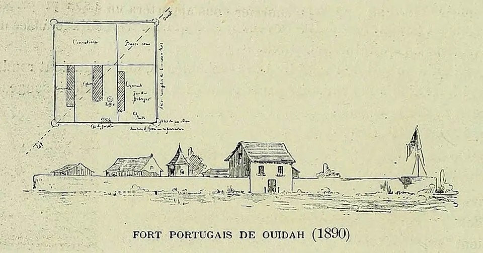
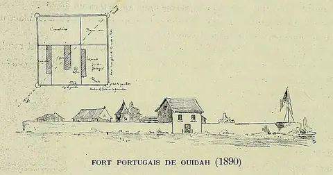
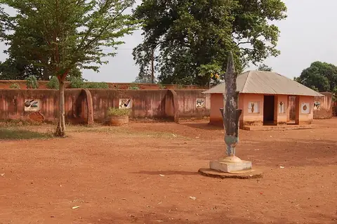
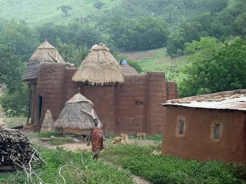
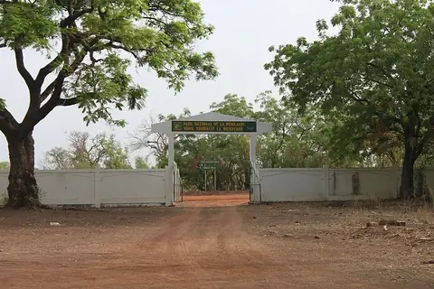
This guide covers 4 major sights. Cultural history is preserved at the Royal Palaces of Abomey and the Fort of São João Baptista de Ajudá. The Koutammakou landscape and Pendjari National Park are also notable destinations, with the latter three sites holding UNESCO status.
Food and drink
Local cuisine includes dishes such as banku, eba, wagasi, and amiwo.
When to go
The weather in Porto-Novo varies throughout the year. The driest months are December and January, which see roughly 3 to 5 days of rain and temperatures around 30 °C. The rainy season is significant, particularly from April to July and again in September and October, with these months seeing rain on 23 to 28 days. August offers a brief respite with lower rainfall, although temperatures remain warm.
Practical notes
The official language is French, and the currency is the West African CFA franc. The country uses type C and E plugs with a voltage of 220 V. Traffic moves on the right side of the road. The time zone is UTC+01:00.
Food and drink to try in Benin
- Banku
- Eba
- Wagasi
- Amiwo
Top sights in Benin
Weather by month
The warmest month is March, with an average high of 30 °C. The wettest is June, with about 288 mm of rain.
| Jan | Feb | Mar | Apr | May | Jun | Jul | Aug | Sep | Oct | Nov | Dec | |
|---|---|---|---|---|---|---|---|---|---|---|---|---|
| Average high, °C | 30 | 30 | 30 | 30 | 29 | 28 | 27 | 27 | 27 | 28 | 29 | 30 |
| Average low, °C | 24 | 25 | 26 | 26 | 25 | 24 | 24 | 23 | 24 | 24 | 25 | 25 |
| Rainfall, mm | 12 | 28 | 70 | 119 | 187 | 288 | 148 | 60 | 158 | 160 | 44 | 17 |
| Rainy days | 3 | 7 | 22 | 23 | 27 | 27 | 24 | 19 | 27 | 29 | 17 | 5 |
Temperatures and rainfall: 1981–2010 averages for Porto-Novo (4 km grid), from CHELSA. Rainy days: 2015–2024, NASA POWER.
Also worth a look
- Great Mosque of Porto-Novo