Koutammakou
Benin UNESCO World Heritage Site
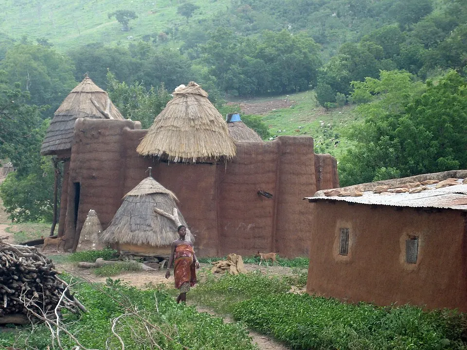
Koutammakou is a cultural landscape and human settlement spanning 500 square kilometers in the Kara Region of Benin. As a UNESCO World Heritage Site, it is one of the 3 most looked-up sights in Benin on English Wikipedia.
Planning a visit
The dry season, from November to February, offers the most favorable conditions for visiting. During these months, rainfall is minimal, with nearly zero days of rain in January and December, and daily highs ranging between 33 °C and 36 °C. The wet season, peaking from June to September, sees heavy rainfall on nearly every day of the month, making travel difficult. The nearest airport is Yakubu Tali International Airport in Tamale, Ghana, located 227 kilometers away. Koutammakou is 431 kilometers from the capital, Porto-Novo.
Weather by month
The warmest month is March, with an average high of 37 °C. The wettest is August, with about 276 mm of rain.
| Jan | Feb | Mar | Apr | May | Jun | Jul | Aug | Sep | Oct | Nov | Dec | |
|---|---|---|---|---|---|---|---|---|---|---|---|---|
| Average high, °C | 34 | 36 | 37 | 36 | 33 | 31 | 29 | 28 | 29 | 30 | 33 | 34 |
| Average low, °C | 19 | 21 | 23 | 24 | 24 | 23 | 22 | 21 | 21 | 21 | 20 | 19 |
| Rainfall, mm | 1 | 4 | 23 | 74 | 111 | 149 | 209 | 276 | 228 | 94 | 9 | 1 |
| Rainy days | 0 | 1 | 6 | 13 | 23 | 26 | 28 | 29 | 28 | 19 | 2 | 0 |
Temperatures and rainfall: 1981–2010 averages for this spot (4 km grid), from CHELSA. Rainy days: 2015–2024, NASA POWER.