W National Park
Niger UNESCO World Heritage Site
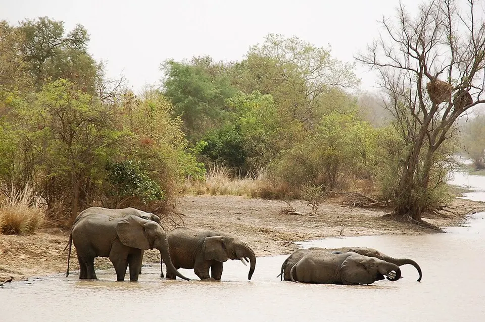
W National Park in Niger is a national park, biosphere reserve, and protected area established in 1954. It is part of the W-Arly-Pendjari Complex and is recognized as part of a UNESCO World Heritage Site. It is one of the most looked-up sights in Niger on English Wikipedia.
Planning a visit
The park experiences hot temperatures throughout the year, with daily highs reaching 41 °C in April and lows dropping to 18 °C in January. Rain varies significantly by month, with the heaviest rainfall occurring between June and September, peaking in August with 238 mm of rain across about 28 days. Months like January, February, November, and December experience no rain, while March and April see very little precipitation.
The nearest airport is Diori Hamani International Airport in Niamey, located 127 km away. The park is 132 km from the capital, Niamey.
Weather by month
The warmest month is April, with an average high of 41 °C. The wettest is August, with about 238 mm of rain.
| Jan | Feb | Mar | Apr | May | Jun | Jul | Aug | Sep | Oct | Nov | Dec | |
|---|---|---|---|---|---|---|---|---|---|---|---|---|
| Average high, °C | 33 | 36 | 39 | 41 | 39 | 36 | 32 | 30 | 32 | 36 | 36 | 34 |
| Average low, °C | 18 | 20 | 23 | 27 | 27 | 26 | 24 | 23 | 23 | 24 | 21 | 19 |
| Rainfall, mm | 0 | 0 | 3 | 15 | 56 | 119 | 172 | 238 | 131 | 25 | 0 | 0 |
| Rainy days | 0 | 0 | 1 | 2 | 8 | 18 | 24 | 28 | 22 | 8 | 0 | 0 |
Temperatures and rainfall: 1981–2010 averages for this spot (4 km grid), from CHELSA. Rainy days: 2015–2024, NASA POWER.