Mali
Country · Africa, Western Africa
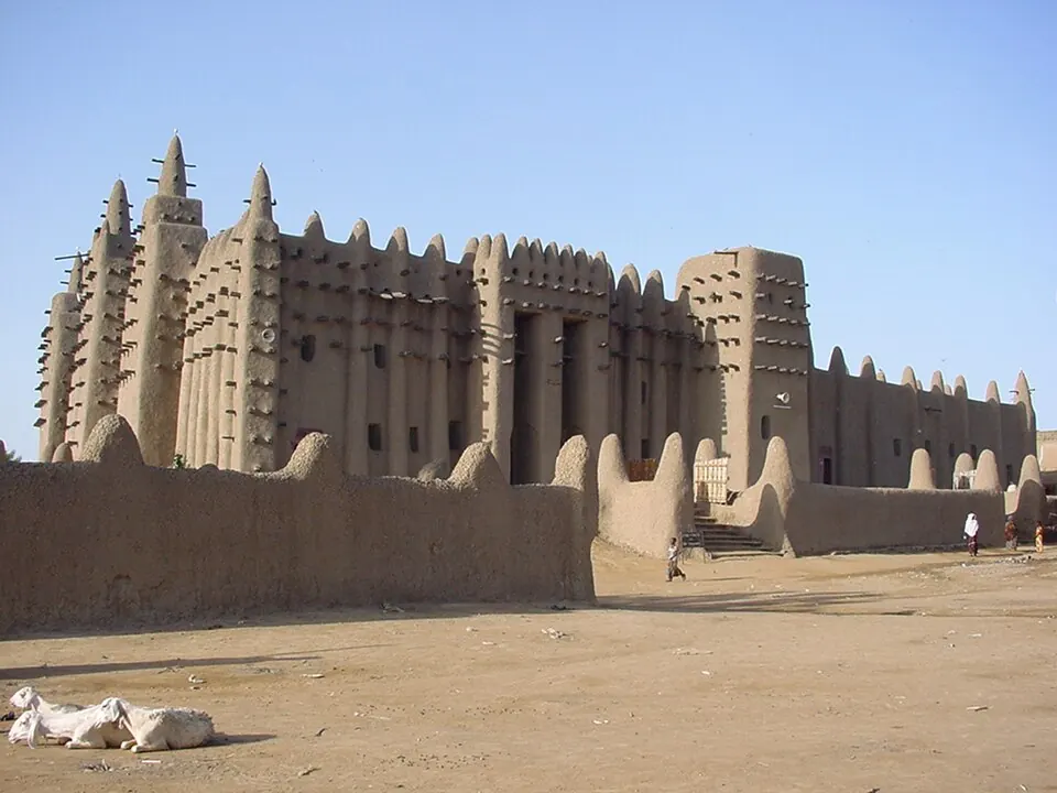
Mali is a country located in Western Africa, bordered by Algeria, Burkina Faso, Guinea, Ivory Coast, Mauritania, Niger, and Senegal. Its capital is Bamako, and the country has a population of about 25 million across an area of 1,240,192 square kilometres.
Highlights
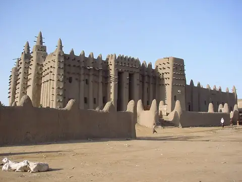
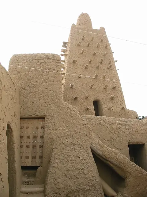
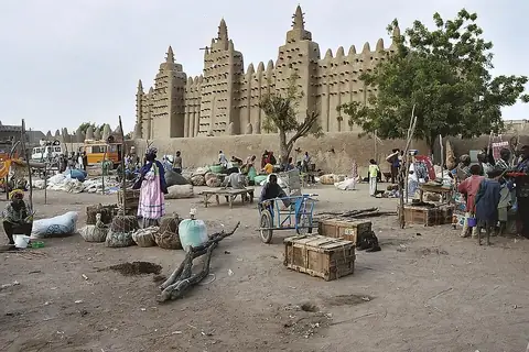
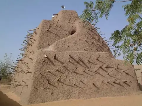
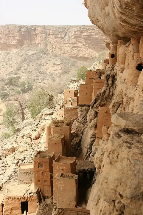
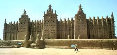
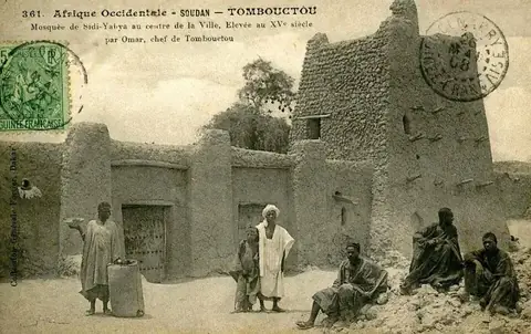
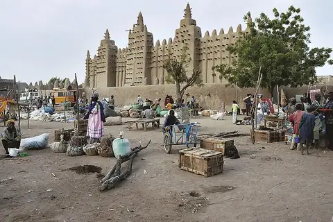
The site covers 9 sights, including the city of Timbuktu. Key cultural and historical landmarks include the Great Mosque of Djenné, Djinguereber Mosque, Tomb of Askia, Sidi Yahya Mosque, and the BCEAO Tower. UNESCO-listed locations feature Djenné, the Tomb of Askia, the Bandiagara Escarpment, Djenné-Djenno, and the Old Towns of Djenné.
Food and drink
Local cuisine includes the dish Taguella.
When to go
This climate information covers the capital, Bamako. January and February offer daily highs of 32 °C to 35 °C with minimal rain. Temperatures rise in March and April to highs of 38 °C to 39 °C. The rainy season runs from May through October, peaking in July and August with over 200 mm of rain each month and up to 29 rainy days. November and December cool down to highs of 34 °C and 32 °C with virtually no rain.
Practical notes
The currency is the West African CFA franc. Languages spoken include Bambara, Bobo, Bozo, Dogon, Fula, Hassaniya Arabic, Kassonke, Maninka, Minyanka, Senufo, Songhay, Soninke, and Tamasheq. Driving is on the right side of the road. Plugs of type C and E are used, with a voltage of 220.0 V. The time zone is UTC±00:00.
Cities
Food and drink to try in Mali
- Taguella
Top sights in Mali
Weather by month
The warmest month is April, with an average high of 39 °C. The wettest is August, with about 265 mm of rain.
| Jan | Feb | Mar | Apr | May | Jun | Jul | Aug | Sep | Oct | Nov | Dec | |
|---|---|---|---|---|---|---|---|---|---|---|---|---|
| Average high, °C | 32 | 35 | 38 | 39 | 38 | 34 | 30 | 29 | 30 | 32 | 34 | 32 |
| Average low, °C | 17 | 20 | 23 | 25 | 26 | 24 | 23 | 22 | 22 | 22 | 20 | 18 |
| Rainfall, mm | 1 | 0 | 2 | 15 | 52 | 115 | 213 | 265 | 175 | 50 | 2 | 0 |
| Rainy days | 0 | 0 | 1 | 4 | 13 | 19 | 28 | 29 | 26 | 14 | 1 | 0 |
Temperatures and rainfall: 1981–2010 averages for Bamako (4 km grid), from CHELSA. Rainy days: 2015–2024, NASA POWER.
Also worth a look
- Mount Hombori
- National Museum of Mali