Ivory Coast
Country · Africa, Western Africa
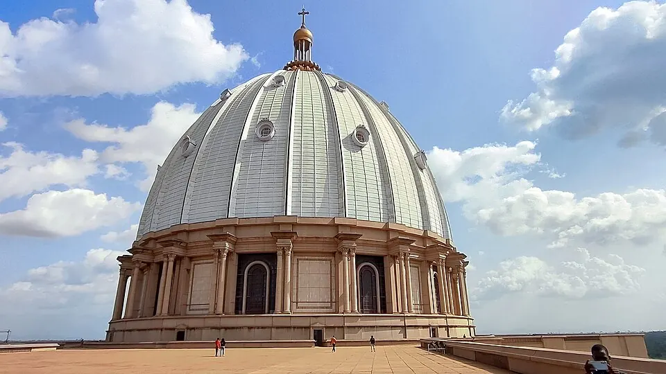
Ivory Coast is located in Western Africa, bordered by Burkina Faso, Ghana, Guinea, Liberia, and Mali. Its capital is Yamoussoukro. The country spans 322,463 square kilometers and has a population of about 32.7 million. Travelers can visit diverse natural reserves and architectural landmarks throughout the region.
Highlights
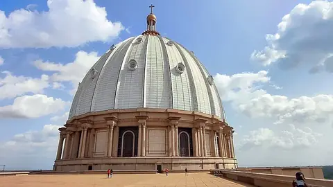
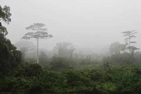
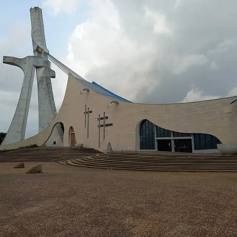
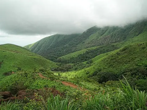
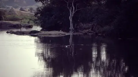
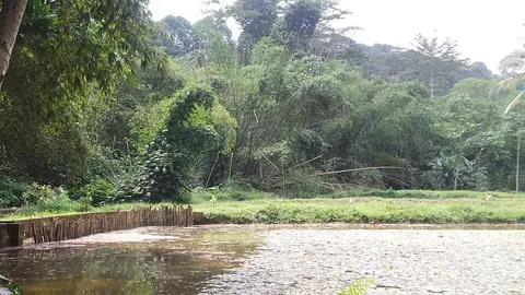
This guide covers 5 primary sights. Architectural landmarks include the Basilica of Our Lady of Peace and St. Paul's Cathedral in Abidjan. For nature, the country features Taï National Park, Comoé National Park, and the Mount Nimba Strict Nature Reserve. Beyond these, Banco National Park and the Sudanese style mosques in northern Côte d'Ivoire are also available to visit.
Food and drink
A local dish available in the country is Kedjenou.
When to go
The climate data for Yamoussoukro shows that January and December are the driest months, with 13 to 18 millimeters of rain. February and November also offer lower rainfall. Temperatures remain consistent throughout the year, with daily highs ranging from 28 °C in August to 34 °C in February. Rainfall is frequent from March through October, with the highest number of rainy days occurring in October. Travelers seeking drier weather should plan visits for the start or the end of the year.
Practical notes
The currency is the West African CFA franc. French is the official language. The electrical system uses plugs C and E at 230 V. Traffic moves on the right side of the road. The country uses the +225 calling code and the .ci top-level domain. The time zone is UTC±00:00.
Cities
Food and drink to try in Ivory Coast
- Kedjenou
Top sights in Ivory Coast
Weather by month
The warmest month is February, with an average high of 34 °C. The wettest is June, with about 175 mm of rain.
| Jan | Feb | Mar | Apr | May | Jun | Jul | Aug | Sep | Oct | Nov | Dec | |
|---|---|---|---|---|---|---|---|---|---|---|---|---|
| Average high, °C | 33 | 34 | 33 | 33 | 32 | 30 | 29 | 28 | 29 | 30 | 30 | 31 |
| Average low, °C | 22 | 23 | 24 | 24 | 24 | 23 | 22 | 22 | 22 | 23 | 22 | 22 |
| Rainfall, mm | 13 | 56 | 113 | 154 | 160 | 175 | 114 | 95 | 138 | 129 | 50 | 18 |
| Rainy days | 3 | 8 | 23 | 24 | 26 | 28 | 22 | 21 | 27 | 30 | 19 | 5 |
Temperatures and rainfall: 1981–2010 averages for Yamoussoukro (4 km grid), from CHELSA. Rainy days: 2015–2024, NASA POWER.
Also worth a look
- Sudanese style mosques in northern Côte d'Ivoire