Comoé National Park
Ivory Coast UNESCO World Heritage Site
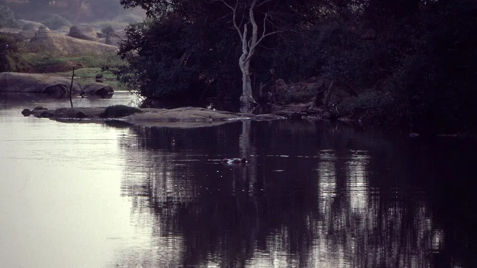
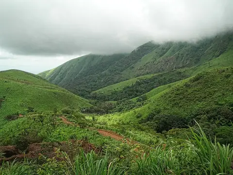
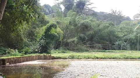
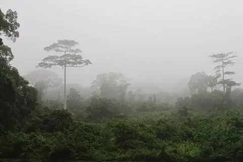
Established in 1968, Comoé National Park is a protected national park and biosphere reserve covering 11,492 square kilometers. It is recognized as a UNESCO World Heritage Site and is one of the most looked-up sights in Ivory Coast.
Planning a visit
The park is open to visitors from December 15 to May 31, and permission is required for entry. The driest months are December and January, which see little to no rain and daily highs of 34 °C to 35 °C. From February onwards, rainfall increases steadily, with the wettest conditions occurring from June through September. Temperatures are generally consistent, with daily highs ranging from 28 °C in August to 37 °C in March and February.
To reach the park, travelers can fly into Korhogo Airport, located 197 kilometers away, or Bobo Dioulasso Airport in Burkina Faso, which is 230 kilometers away. The park is situated 309 kilometers from the capital, Yamoussoukro. No other sights are listed nearby for combination.
Weather by month
The warmest month is February, with an average high of 37 °C. The wettest is September, with about 170 mm of rain.
| Jan | Feb | Mar | Apr | May | Jun | Jul | Aug | Sep | Oct | Nov | Dec | |
|---|---|---|---|---|---|---|---|---|---|---|---|---|
| Average high, °C | 35 | 37 | 37 | 35 | 34 | 31 | 29 | 28 | 29 | 31 | 33 | 34 |
| Average low, °C | 20 | 22 | 24 | 24 | 24 | 23 | 22 | 22 | 22 | 22 | 22 | 20 |
| Rainfall, mm | 4 | 15 | 54 | 102 | 112 | 126 | 150 | 166 | 170 | 107 | 29 | 6 |
| Rainy days | 0 | 3 | 11 | 18 | 23 | 25 | 26 | 26 | 28 | 22 | 6 | 1 |
Temperatures and rainfall: 1981–2010 averages for this spot (4 km grid), from CHELSA. Rainy days: 2015–2024, NASA POWER.