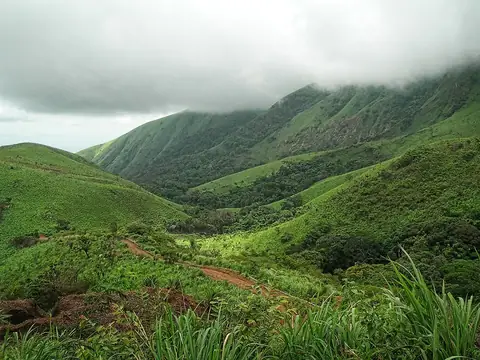
Taï National Park Parc national de Taï
Ivory Coast UNESCO World Heritage Site
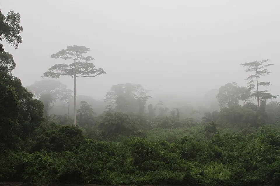
Taï National Park is a national park, biosphere reserve, and World Heritage Site located in Ivory Coast. Established in 1972, the 3,300 km2 protected area spans the Montagnes District and Bas-Sassandra District. It is one of the most looked-up sights in the country on English Wikipedia.
Planning a visit
January and December experience lower rainfall, with 24 mm of rain on about 7 days in January and 42 mm on about 10 days in December, alongside daily highs of 30 °C to 31 °C and lows of 21 °C. Months like June and October see higher precipitation, with rainfall totals exceeding 230 mm and rainy days numbering up to 30 per month. Daily highs throughout the year generally range from 28 °C to 32 °C, with lows between 21 °C and 22 °C.
The nearest airport is San Pedro Airport, located 123 km away, while Félix-Houphouët-Boigny International Airport in Abidjan is 358 km away. The park is 236 km from the capital, Yamoussoukro.
Weather by month
The warmest month is February, with an average high of 32 °C. The wettest is June, with about 254 mm of rain.
| Jan | Feb | Mar | Apr | May | Jun | Jul | Aug | Sep | Oct | Nov | Dec | |
|---|---|---|---|---|---|---|---|---|---|---|---|---|
| Average high, °C | 31 | 32 | 31 | 31 | 30 | 29 | 28 | 28 | 29 | 29 | 29 | 30 |
| Average low, °C | 21 | 22 | 22 | 22 | 22 | 22 | 21 | 21 | 22 | 22 | 21 | 21 |
| Rainfall, mm | 24 | 66 | 140 | 170 | 218 | 254 | 138 | 179 | 228 | 230 | 108 | 42 |
| Rainy days | 7 | 14 | 27 | 25 | 26 | 30 | 24 | 26 | 29 | 30 | 24 | 10 |
Temperatures and rainfall: 1981–2010 averages for this spot (4 km grid), from CHELSA. Rainy days: 2015–2024, NASA POWER.