Liberia
Country · Africa, Western Africa
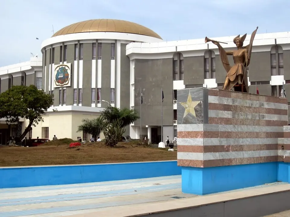
Liberia is a country located in Western Africa, bordered by Guinea, Ivory Coast, and Sierra Leone. Its capital is Monrovia, covering an area of 111369 square kilometers with a population of about 5.7 million people in 2025. The country offers travelers two top sights to explore.
Highlights
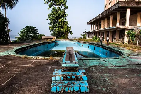
The country features 2 sights across its territory. Visitors can view the Ducor Hotel and Sapo National Park.
When to go
This weather data describes the capital, Monrovia. January and February have high temperatures of 28 °C and low temperatures of 24 °C to 25 °C, with rain between 32 mm and 63 mm over 2 to 4 days. March and April see highs of 29 °C and lows of 25 °C, with rainfall increasing up to 184 mm. From May through October, monthly rainfall ranges from 316 mm to 527 mm on 20 to 27 days, with daily highs dropping to 26 °C or 27 °C and lows at 24 °C. November brings 140 mm of rain, and December sees 53 mm of rain with a high of 28 °C and a low of 24 °C.
Practical notes
The currency is the Liberian dollar. English is spoken, and the time zone is UTC±00:00. Driving is on the right side of the road. Plugs of types A, B, C, E, and F are used, operating at a voltage of 120.0 V.
Top sights in Liberia
Weather by month
The warmest month is April, with an average high of 29 °C. The wettest is August, with about 527 mm of rain.
| Jan | Feb | Mar | Apr | May | Jun | Jul | Aug | Sep | Oct | Nov | Dec | |
|---|---|---|---|---|---|---|---|---|---|---|---|---|
| Average high, °C | 29 | 29 | 29 | 29 | 29 | 27 | 26 | 26 | 27 | 28 | 28 | 28 |
| Average low, °C | 25 | 25 | 25 | 25 | 25 | 24 | 24 | 24 | 24 | 24 | 24 | 24 |
| Rainfall, mm | 32 | 63 | 92 | 184 | 316 | 521 | 457 | 527 | 453 | 353 | 140 | 53 |
| Rainy days | 2 | 5 | 10 | 15 | 20 | 25 | 27 | 27 | 27 | 24 | 10 | 3 |
Temperatures and rainfall: 1981–2010 averages for Monrovia (4 km grid), from CHELSA. Rainy days: 2015–2024, NASA POWER.