Sierra Leone
Country · Africa, Western Africa
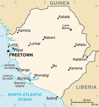
Sierra Leone is located in Western Africa, bordered by Guinea and Liberia. The country covers 71,740 square kilometers with a population of about 9 million in 2025, and its capital is Freetown. It offers travelers a range of natural and cultural sights.
Highlights
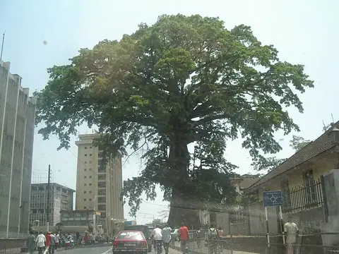
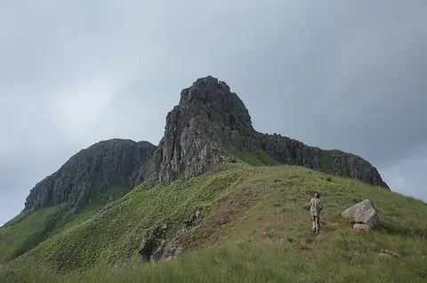
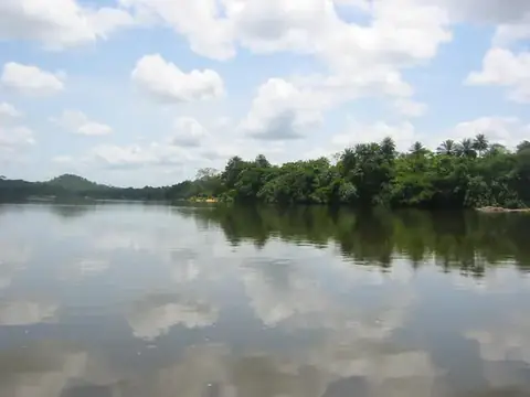
The site covers 4 sights. Natural and urban landmarks include the Cotton Tree, Mount Bintumani, Tiwai Island, and Gola Rainforest National Park.
Food and drink
Local cuisine includes frejon.
When to go
The climate figures refer to averages at the capital, Freetown. Temperatures remain steady throughout the year, averaging between 25 °C and 27 °C. January, February, and December see very little rain, with almost zero rainy days. Rainfall increases starting in April and peaks significantly from July through September, with July and August experiencing over 800 mm of rain across about 30 rainy days per month.
Practical notes
The official currency is the leone. Spoken languages are English and Krio. Electrical systems use type G plugs at 230 V. Driving is on the right side of the road. The time zone is UTC±00:00.
Food and drink to try in Sierra Leone
- Frejon
Top sights in Sierra Leone
Weather by month
Temperatures stay much the same all year, around 26 °C on average. The wettest is August, with about 886 mm of rain.
| Jan | Feb | Mar | Apr | May | Jun | Jul | Aug | Sep | Oct | Nov | Dec | |
|---|---|---|---|---|---|---|---|---|---|---|---|---|
| Average temperature, °C | 26 | 26 | 26 | 26 | 27 | 26 | 25 | 25 | 25 | 26 | 26 | 27 |
| Rainfall, mm | 8 | 7 | 12 | 58 | 208 | 427 | 855 | 886 | 495 | 291 | 88 | 13 |
| Rainy days | 0 | 0 | 1 | 6 | 21 | 26 | 30 | 30 | 28 | 28 | 12 | 1 |
Temperatures and rainfall: 1981–2010 averages for Freetown (4 km grid), from CHELSA. Rainy days: 2015–2024, NASA POWER.