Djenné
Mali UNESCO World Heritage Site
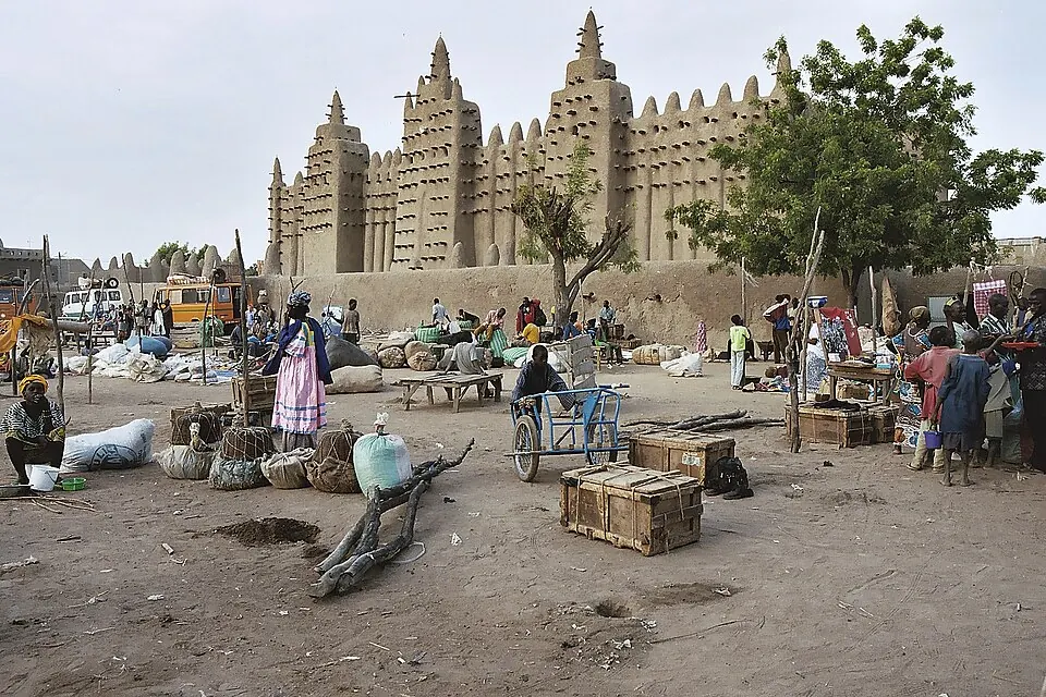
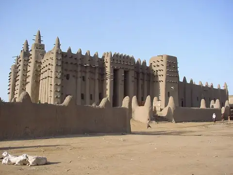
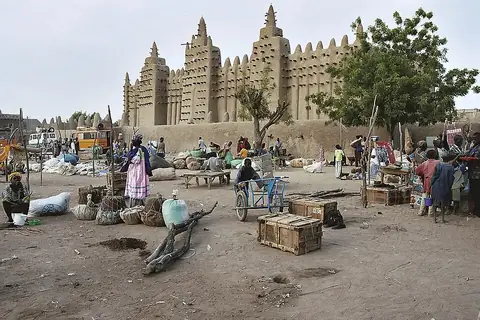
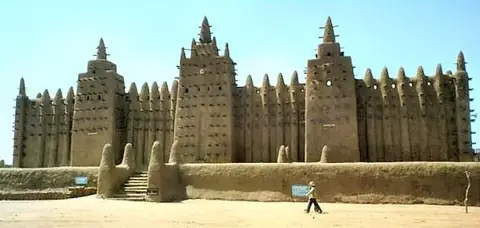
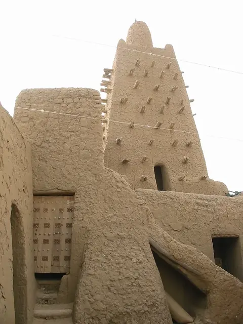
Djenné is a commune of Mali and part of a UNESCO World Heritage Site located in the Mopti Region and Djenné Cercle. It covers an area of 302 square kilometers at an elevation of 278 meters. It is one of the most looked-up sights in Mali.
Planning a visit
The climate features daily highs and lows. Months from November to February have cooler daily lows between 17 °C and 21 °C and no rain, while April and May reach daily highs of 40 °C. The rainy season runs from May to October, with August experiencing the most rain at 194 mm across about 27 days.
The nearest airport is Mopti Airport in Sévaré, Mali, located 85 km away, while Bobo Dioulasso Airport is 306 km away. The capital Bamako is 398 km away. Nearby places to visit include the Great Mosque of Djenné at 0.8 km, the Old Towns of Djenné at 0.9 km, and Djenné-Djenno at 1.5 km.
Weather by month
The warmest month is April, with an average high of 40 °C. The wettest is August, with about 194 mm of rain.
| Jan | Feb | Mar | Apr | May | Jun | Jul | Aug | Sep | Oct | Nov | Dec | |
|---|---|---|---|---|---|---|---|---|---|---|---|---|
| Average high, °C | 32 | 35 | 38 | 40 | 40 | 38 | 34 | 32 | 34 | 37 | 36 | 33 |
| Average low, °C | 17 | 20 | 23 | 26 | 28 | 27 | 25 | 24 | 24 | 25 | 21 | 18 |
| Rainfall, mm | 1 | 0 | 1 | 6 | 23 | 63 | 162 | 194 | 94 | 22 | 0 | 0 |
| Rainy days | 0 | 0 | 0 | 1 | 5 | 10 | 21 | 27 | 20 | 6 | 0 | 0 |
Temperatures and rainfall: 1981–2010 averages for this spot (4 km grid), from CHELSA. Rainy days: 2015–2024, NASA POWER.