Bandiagara Escarpment Falaise de Bandiagara
Mali UNESCO World Heritage Site
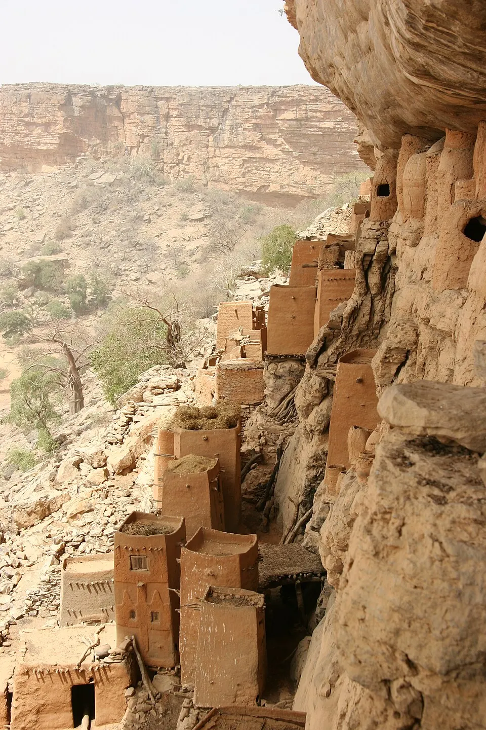
The Bandiagara Escarpment is a protected area and UNESCO World Heritage Site located in the Dogon Country of Mali. It is one of the most looked-up sights in Mali. The landscape is defined by its escarpment, which reaches an elevation of 323 meters and covers a total area of 3274 square kilometers. Visitors travel to this region to experience this geological formation and the surrounding area.
Planning a visit
The most suitable time for a visit is during the cooler, dry months. In January and February, daily highs range from 30 °C to 33 °C with no recorded rain, making travel conditions more manageable. Temperatures increase significantly during the spring, with highs reaching 40 °C in April and May. The area experiences a rainy season from June through September, peaking in August with 194 mm of rain over approximately 25 days.
The nearest airport is Mopti Airport, located 83 kilometers away in Sévaré, while Timbuktu Airport is 259 kilometers away. For those traveling from the capital, Bamako, the distance to the escarpment is 542 kilometers. The location is situated in the Dogon Country, which can be explored in conjunction with a visit to the escarpment itself.
Weather by month
The warmest month is May, with an average high of 40 °C. The wettest is August, with about 194 mm of rain.
| Jan | Feb | Mar | Apr | May | Jun | Jul | Aug | Sep | Oct | Nov | Dec | |
|---|---|---|---|---|---|---|---|---|---|---|---|---|
| Average high, °C | 30 | 33 | 37 | 40 | 40 | 38 | 34 | 32 | 34 | 37 | 35 | 31 |
| Average low, °C | 16 | 19 | 22 | 25 | 27 | 26 | 24 | 23 | 24 | 24 | 21 | 18 |
| Rainfall, mm | 0 | 0 | 1 | 5 | 18 | 60 | 158 | 194 | 97 | 22 | 0 | 0 |
| Rainy days | 0 | 0 | 0 | 1 | 3 | 9 | 19 | 25 | 17 | 4 | 0 | 0 |
Temperatures and rainfall: 1981–2010 averages for this spot (4 km grid), from CHELSA. Rainy days: 2015–2024, NASA POWER.