Senegal
Country · Africa, Western Africa
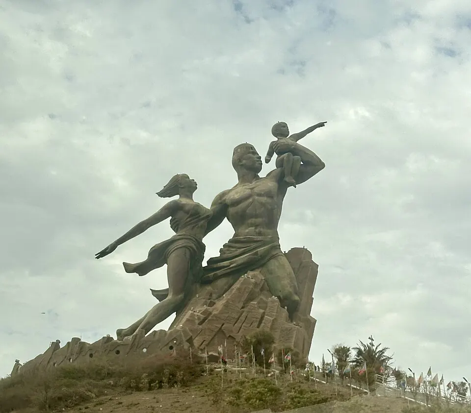
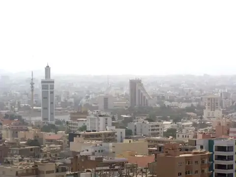
Senegal is located in Western Africa and shares borders with Mauritania, Mali, Guinea, Guinea-Bissau, and The Gambia. The country has an area of 196,722 square kilometers and a population of about 19 million people, with Dakar serving as its capital. It offers travellers a mix of cultural sites, natural parks, and historic landmarks.
Highlights
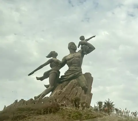
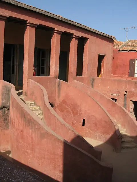
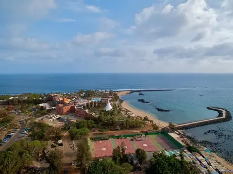
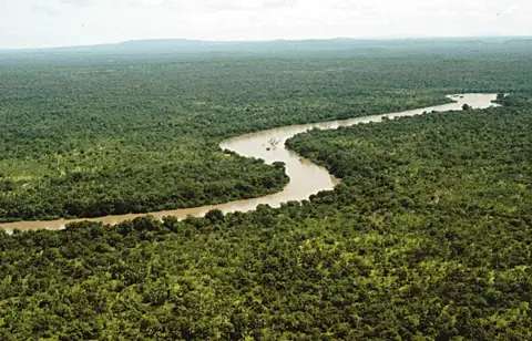
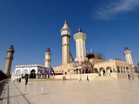
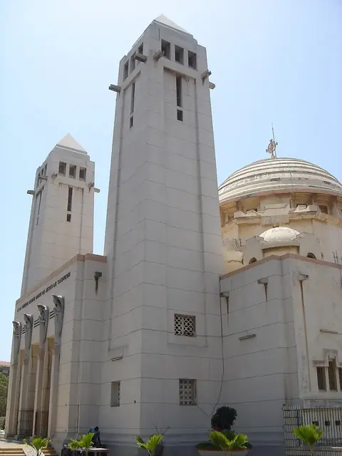
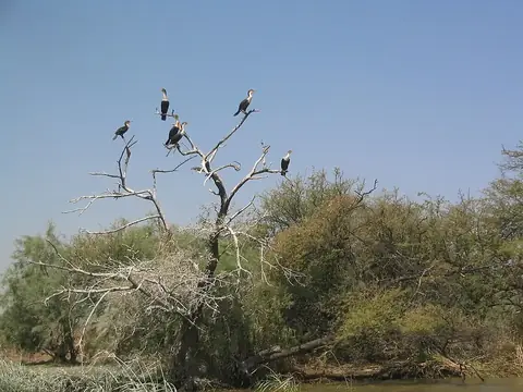
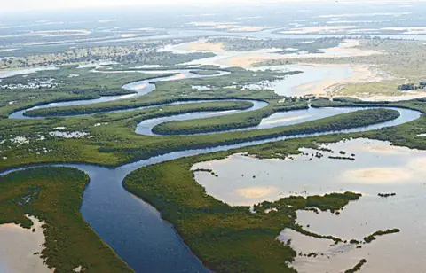
The site covers 5 top sights. In the capital city of Dakar, visitors can see the African Renaissance Monument, the House of Slaves, and Pointe des Almadies. Other notable locations across the country include the Great Mosque of Touba and Niokolo-Koba National Park, which is a UNESCO site.
Food and drink
Local dishes to try include Jollof rice, Thieboudienne, Yassa, Dibi, Tapalapa, Domoda, and Thiere.
When to go
The climate data reflects averages at the capital, Dakar. From December to May, temperatures stay between 21 °C and 24 °C with virtually no rain, making it a suitable time for a visit. From July to October, rainfall increases significantly, peaking in August with 170 mm of rain across about 24 rainy days.
Practical notes
The official currency is the West African CFA franc. Spoken languages include French, Wolof, Badyara, and Balanta. Driving is on the right side of the road. The country uses UTC±00:00 time zone, a calling code of +221, country code .sn, and 230 V electricity with plug types C, E, and K.
Cities
Food and drink to try in Senegal
- Jollof rice
- Thieboudienne
- Yassa
- Dibi
- Tapalapa
- Domoda
- Thiere
Top sights in Senegal

Weather by month
The warmest month is October, averaging 28 °C. The wettest is August, with about 170 mm of rain.
| Jan | Feb | Mar | Apr | May | Jun | Jul | Aug | Sep | Oct | Nov | Dec | |
|---|---|---|---|---|---|---|---|---|---|---|---|---|
| Average temperature, °C | 22 | 21 | 22 | 22 | 23 | 25 | 27 | 27 | 27 | 28 | 27 | 24 |
| Rainfall, mm | 2 | 1 | 0 | 0 | 0 | 4 | 58 | 170 | 137 | 21 | 0 | 1 |
| Rainy days | 0 | 0 | 1 | 0 | 1 | 5 | 16 | 25 | 26 | 13 | 1 | 1 |
Temperatures and rainfall: 1981–2010 averages for Dakar (4 km grid), from CHELSA. Rainy days: 2015–2024, NASA POWER.
Also worth a look
- Faidherbe Bridge
- Les Mamelles Lighthouse