Guinea-Bissau
Country · Africa, Western Africa
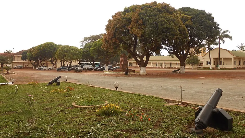
Guinea-Bissau is a country in Western Africa, bordered by Senegal and Guinea. It covers 36,125 square kilometers and has a population of about 2.2 million people. The capital city is Bissau.
Highlights
The country features one primary sight covered here, the Fortaleza de São José da Amura. This historic fortification is located in the capital, Bissau.
When to go
This section describes the climate at the capital, Bissau. The dry season runs from December through April, with daily highs ranging from 32 °C to 34 °C and almost no rainfall. This period offers the most stable weather for travel. From June through October, the region experiences significant rainfall, peaking in August with 491 mm of rain over about 30 days. Temperatures during the rainy season are slightly cooler, with daily highs between 28 °C and 31 °C.
Practical notes
The official language is Portuguese. The local currency is the West African CFA franc. The country operates on UTC±00:00 time. Drivers travel on the right side of the road. Electrical outlets are type C, and the voltage is 220 V. The international calling code is +245. Visitors should note the time zone and power standards when planning their arrival.
Top sights in Guinea-Bissau
Weather by month
The warmest month is March, with an average high of 34 °C. The wettest is August, with about 491 mm of rain.
| Jan | Feb | Mar | Apr | May | Jun | Jul | Aug | Sep | Oct | Nov | Dec | |
|---|---|---|---|---|---|---|---|---|---|---|---|---|
| Average high, °C | 32 | 33 | 34 | 34 | 33 | 31 | 29 | 28 | 29 | 30 | 32 | 32 |
| Average low, °C | 21 | 21 | 23 | 23 | 24 | 25 | 25 | 24 | 24 | 25 | 25 | 22 |
| Rainfall, mm | 0 | 0 | 0 | 0 | 15 | 155 | 389 | 491 | 373 | 167 | 10 | 0 |
| Rainy days | 0 | 0 | 0 | 0 | 2 | 16 | 30 | 30 | 29 | 20 | 2 | 0 |
Temperatures and rainfall: 1981–2010 averages for Bissau (4 km grid), from CHELSA. Rainy days: 2015–2024, NASA POWER.