The Gambia
Country · Africa, Western Africa
The Gambia is a country in Western Africa, bordered by Senegal. It covers an area of 11,300 square kilometers and has a population of about 2.8 million people, with Banjul serving as the capital.
Highlights
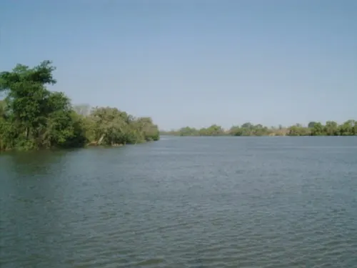
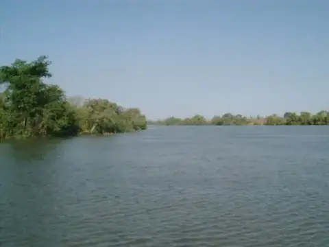
The country offers one major sight covered in this guide, the River Gambia National Park. This park focuses on the natural environment surrounding the river that runs through the country.
Food and drink
Local cuisine includes a dish called Domoda.
When to go
The climate in Banjul is characterized by a distinct wet season and a dry season. The dry months from November to May are generally the most suitable for travel. During this period, rain is minimal or nonexistent, with almost no rainy days recorded. Temperatures remain stable, with daily highs ranging between 27 °C and 30 °C and lows between 20 °C and 22 °C. The wet season arrives in June and peaks in August and September. During these months, rain is frequent, with August seeing rainfall on about 27 days and September on about 28 days. While temperatures remain similar to the dry season, the high number of rainy days may affect outdoor activities.
Practical notes
The currency used is the dalasi. English is the primary language spoken. The country operates on a 230 V electrical system with type G plugs. Traffic moves on the right side of the road. The time zone is UTC±00:00.
Food and drink to try in The Gambia
- Domoda
Top sights in The Gambia
Weather by month
The warmest month is November, with an average high of 30 °C. The wettest is August, with about 297 mm of rain.
| Jan | Feb | Mar | Apr | May | Jun | Jul | Aug | Sep | Oct | Nov | Dec | |
|---|---|---|---|---|---|---|---|---|---|---|---|---|
| Average high, °C | 27 | 28 | 29 | 28 | 28 | 28 | 29 | 28 | 29 | 30 | 30 | 29 |
| Average low, °C | 20 | 21 | 21 | 21 | 23 | 25 | 26 | 25 | 26 | 26 | 25 | 22 |
| Rainfall, mm | 1 | 1 | 0 | 0 | 2 | 42 | 176 | 297 | 213 | 52 | 1 | 0 |
| Rainy days | 0 | 1 | 1 | 1 | 2 | 8 | 23 | 27 | 28 | 17 | 1 | 0 |
Temperatures and rainfall: 1981–2010 averages for Banjul (4 km grid), from CHELSA. Rainy days: 2015–2024, NASA POWER.