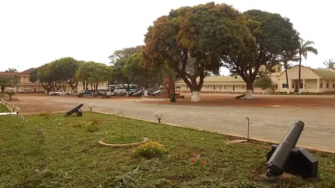
River Gambia National Park
Janjanbureh, The Gambia
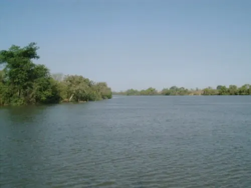
River Gambia National Park is a national park located in the Central River Division of The Gambia. Established in 1978, it covers an area of 585 square kilometers and is one of the most looked-up sights in the country. It offers visitors a protected natural area along the river.
Planning a visit
The dry months from November to May experience very little rain, with daily highs ranging from 33 °C to 38 °C and lows from 19 °C to 24 °C. The rainy season runs from June through October, with August being the wettest month, recording 240 mm of rain across about 29 days and daily temperatures averaging a high of 31 °C and a low of 24 °C.
The park is situated in Janjanbureh, 176 km from the capital Banjul. The nearest airport is Banjul International Airport in Banjul (Yundum), located 186 km away.
Weather by month
The warmest month is April, with an average high of 38 °C. The wettest is August, with about 240 mm of rain.
| Jan | Feb | Mar | Apr | May | Jun | Jul | Aug | Sep | Oct | Nov | Dec | |
|---|---|---|---|---|---|---|---|---|---|---|---|---|
| Average high, °C | 33 | 35 | 37 | 38 | 38 | 36 | 32 | 31 | 31 | 33 | 35 | 33 |
| Average low, °C | 19 | 20 | 22 | 23 | 24 | 25 | 24 | 24 | 24 | 24 | 22 | 20 |
| Rainfall, mm | 0 | 0 | 0 | 0 | 5 | 81 | 181 | 240 | 188 | 56 | 3 | 0 |
| Rainy days | 0 | 0 | 0 | 0 | 1 | 11 | 25 | 29 | 28 | 14 | 0 | 0 |
Temperatures and rainfall: 1981–2010 averages for this spot (4 km grid), from CHELSA. Rainy days: 2015–2024, NASA POWER.