Western Sahara
Territory · Africa, Northern Africa
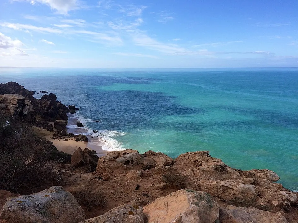
Western Sahara is a territory located in Northern Africa, sharing land borders with Morocco, Algeria, and Mauritania. Spanning 266,000 square kilometers, the area has a population of approximately 612,000 people. It offers travelers a desert landscape and specific architectural sites to explore within the region.
Highlights
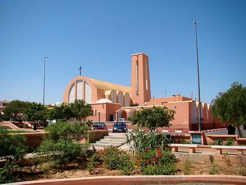
The territory contains one recognized sight, the St. Francis of Assisi Cathedral located in Laayoune. This structure serves as the primary point of interest for visitors. Given the total of one sight, the focus remains on this singular architectural landmark within the capital city.
When to go
The climate in the capital follows a distinct pattern of warm to hot temperatures throughout the year. The hottest period occurs from June through September, with daily highs reaching between 33 °C and 38 °C and lows between 18 °C and 21 °C. Those who prefer lower temperatures may prefer the period from November to April, when daily highs range from 22 °C to 28 °C and lows fall to 10 °C or 14 °C. Rainfall is infrequent, with most months seeing between zero and three days of precipitation. May and July frequently record no rain at all.
Practical notes
The currency used in the territory is the Moroccan dirham. The official language is Arabic. When driving, vehicles operate on the right side of the road. The territory is situated in the UTC+01:00 time zone. The international calling code for the region is +212.
Top sights in Western Sahara
Weather by month
The warmest month is August, with an average high of 38 °C. Rain is spread fairly evenly through the year.
| Jan | Feb | Mar | Apr | May | Jun | Jul | Aug | Sep | Oct | Nov | Dec | |
|---|---|---|---|---|---|---|---|---|---|---|---|---|
| Average high, °C | 22 | 24 | 27 | 28 | 30 | 33 | 38 | 38 | 35 | 31 | 26 | 23 |
| Average low, °C | 10 | 12 | 14 | 14 | 15 | 18 | 20 | 21 | 21 | 18 | 15 | 12 |
| Rainfall, mm | 4 | 4 | 2 | 0 | 0 | 0 | 0 | 2 | 10 | 4 | 2 | 4 |
| Rainy days | 1 | 1 | 1 | 0 | 0 | 1 | 0 | 1 | 3 | 3 | 1 | 1 |
Temperatures and rainfall: 1981–2010 averages for Western Sahara (4 km grid), from CHELSA. Rainy days: 2015–2024, NASA POWER.