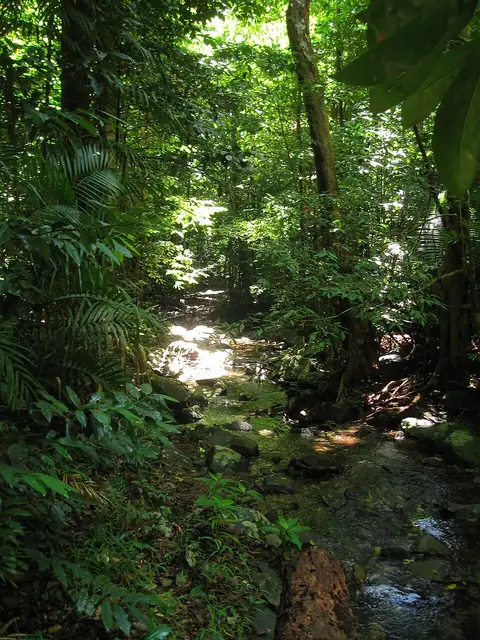
Burning Mountain
Murrurundi, Australia
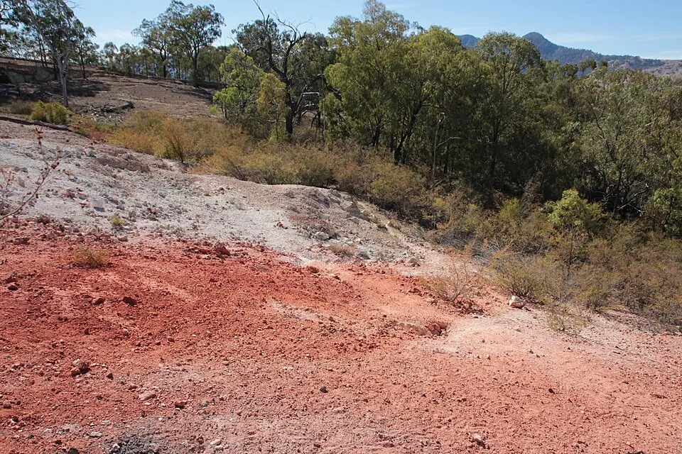
Burning Mountain is a mountain and hill located in the Liverpool Range. It is one of the 62 sights of Australia featured on this site and is the 19th most looked-up sight in the country on English Wikipedia.
Planning a visit
The best time to visit depends on the weather. The warmest months are January and February, with daily highs around 28 °C to 29 °C. The coolest month is July, when daily highs reach about 13 °C and lows drop to 4 °C. Rainfall is highest in December with about 90 mm and lowest in April with about 41 mm.
To reach Burning Mountain, you can fly into Tamworth Airport, which is 86 km away, or Newcastle Airport, located 136 km away. The site is 417 km from Canberra.
Weather by month
The warmest month is January, with an average high of 29 °C. The wettest is December, with about 90 mm of rain.
| Jan | Feb | Mar | Apr | May | Jun | Jul | Aug | Sep | Oct | Nov | Dec | |
|---|---|---|---|---|---|---|---|---|---|---|---|---|
| Average high, °C | 29 | 28 | 25 | 21 | 18 | 14 | 13 | 15 | 19 | 22 | 25 | 27 |
| Average low, °C | 17 | 17 | 15 | 12 | 9 | 6 | 5 | 5 | 8 | 11 | 14 | 16 |
| Rainfall, mm | 67 | 72 | 53 | 41 | 47 | 53 | 57 | 52 | 48 | 62 | 75 | 90 |
| Rainy days | 13 | 11 | 13 | 7 | 6 | 7 | 6 | 6 | 6 | 9 | 10 | 11 |
Temperatures and rainfall: 1981–2010 averages for this spot (4 km grid), from CHELSA. Rainy days: 2015–2024, NASA POWER.