Great Dividing Range
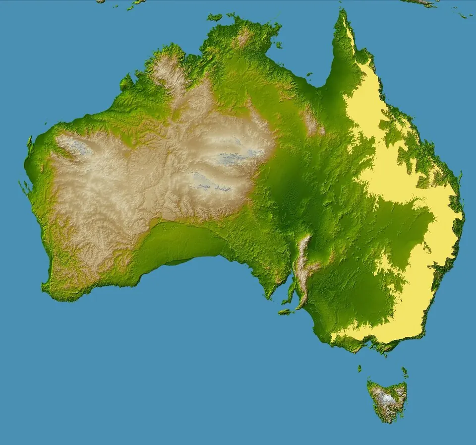
The Great Dividing Range is a mountain range located in Australia, spanning across Queensland, New South Wales, Victoria, and the Australian Capital Territory. It reaches an elevation of 2228 meters and extends for 3500000 meters. It is one of the most looked-up sights in Australia on English Wikipedia.
Planning a visit
The climate features daily highs and lows throughout the year. January and December are the warmest months with daily highs of 32 °C and lows of 20 °C, while January and December also see the most rain at 108 mm and 87 mm respectively. July is the coolest month with a high of 18 °C and a low of 7 °C, alongside 27 mm of rain. September is relatively dry with 22 mm of rain on about 2 days and a high of 25 °C.
To reach the range, the nearest airport is Blackall Airport in Blackall, Australia, located 171 km away, while Toowoomba Wellcamp Airport is 556 km away. The capital city of Canberra is 1163 km away from the range. The range spans across the administrative regions of Queensland, New South Wales, Victoria, and the Australian Capital Territory.
Weather by month
The warmest month is January, with an average high of 32 °C. The wettest is January, with about 108 mm of rain.
| Jan | Feb | Mar | Apr | May | Jun | Jul | Aug | Sep | Oct | Nov | Dec | |
|---|---|---|---|---|---|---|---|---|---|---|---|---|
| Average high, °C | 32 | 31 | 30 | 26 | 22 | 19 | 18 | 21 | 25 | 28 | 30 | 32 |
| Average low, °C | 21 | 20 | 18 | 15 | 11 | 8 | 7 | 8 | 12 | 15 | 17 | 20 |
| Rainfall, mm | 108 | 88 | 50 | 49 | 39 | 33 | 27 | 21 | 22 | 44 | 71 | 87 |
| Rainy days | 9 | 8 | 8 | 3 | 3 | 3 | 3 | 3 | 2 | 6 | 7 | 9 |
Temperatures and rainfall: 1981–2010 averages for this spot (4 km grid), from CHELSA. Rainy days: 2015–2024, NASA POWER.