Iguaçu National Park
Brazil UNESCO World Heritage Site
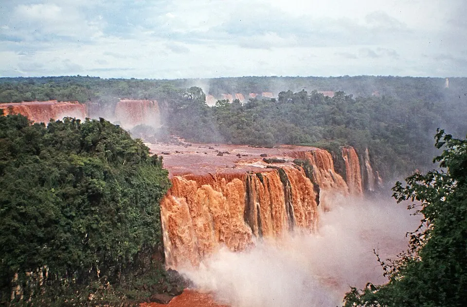
Iguaçu National Park is a natural heritage site and a UNESCO World Heritage Site in Brazil. Named after the Iguazu River, the park covers 1,853 km2 at an elevation of 265 m. It is one of the 15 most looked-up sights in Brazil on English Wikipedia.
Planning a visit
The climate varies throughout the year. High temperatures range from 22 °C in June and July to 30 °C in January, February, and December. In March and November, highs reach 29 °C, while April and October see highs of 27 °C. Low temperatures range from 13 °C in June and July to 22 °C in January. Rainfall is most frequent in January, with about 20 rainy days. The wettest month is October with 240 mm of rain, and the driest is August with 101 mm.
Travelers can reach the park via Cataratas International Airport (IGU) in Foz do Iguaçu, which is 70 km away, or Coronel Adalberto Mendes da Silva Airport (CAC) in Cascavel, located 63 km away. The park is 1,242 km from Brasília. The site is operated by the Chico Mendes Institute for Biodiversity Conservation.
Weather by month
The warmest month is January, with an average high of 30 °C. Rain is spread fairly evenly through the year.
| Jan | Feb | Mar | Apr | May | Jun | Jul | Aug | Sep | Oct | Nov | Dec | |
|---|---|---|---|---|---|---|---|---|---|---|---|---|
| Average high, °C | 30 | 30 | 29 | 27 | 23 | 22 | 22 | 24 | 26 | 27 | 29 | 30 |
| Average low, °C | 22 | 21 | 20 | 18 | 15 | 13 | 13 | 14 | 16 | 18 | 19 | 21 |
| Rainfall, mm | 190 | 193 | 143 | 177 | 185 | 146 | 117 | 101 | 156 | 240 | 190 | 196 |
| Rainy days | 20 | 15 | 14 | 10 | 12 | 9 | 7 | 7 | 9 | 16 | 13 | 16 |
Temperatures and rainfall: 1981–2010 averages for this spot (4 km grid), from CHELSA. Rainy days: 2015–2024, NASA POWER.