Christmas Island
Territory · Oceania, Australia and New Zealand
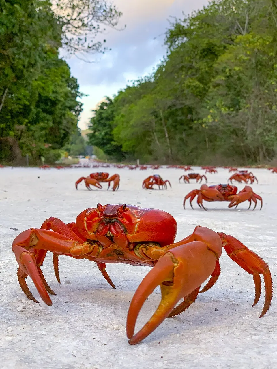
Christmas Island is a territory in Oceania with an area of 135 square kilometers and a population of about 1,700. Its capital is Flying Fish Cove.
Highlights
The territory features 1 sight covered by this site, which is The Dales.
When to go
The climate at the capital, Flying Fish Cove, features average temperatures around 25 °C to 27 °C throughout the year. August and September are the driest months, with rain falling on 5 to 6 days and totals of 30 mm and 19 mm. March experiences the highest rainfall, with 336 mm over about 23 days.
Practical notes
The official language is English. The currency is the Australian dollar. Driving is on the left side of the road. The time zone is UTC+07:00.
Top sights in Christmas Island
Weather by month
Temperatures stay much the same all year, around 26 °C on average. The wettest is February, with about 337 mm of rain.
| Jan | Feb | Mar | Apr | May | Jun | Jul | Aug | Sep | Oct | Nov | Dec | |
|---|---|---|---|---|---|---|---|---|---|---|---|---|
| Average temperature, °C | 26 | 26 | 27 | 27 | 27 | 26 | 26 | 25 | 25 | 26 | 26 | 26 |
| Rainfall, mm | 211 | 337 | 336 | 222 | 180 | 141 | 92 | 30 | 19 | 36 | 126 | 197 |
| Rainy days | 22 | 20 | 23 | 21 | 15 | 13 | 9 | 5 | 6 | 7 | 14 | 19 |
Temperatures and rainfall: 1981–2010 averages for Flying Fish Cove (4 km grid), from CHELSA. Rainy days: 2015–2024, NASA POWER.