Cocos (Keeling) Islands
Territory · Oceania, Australia and New Zealand
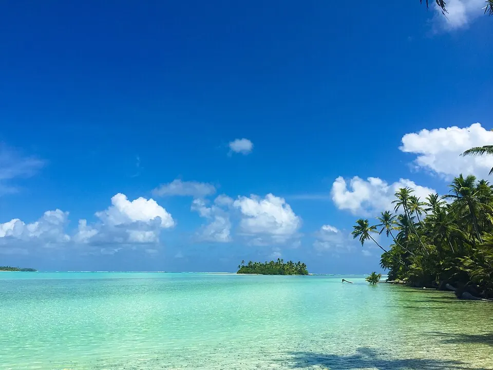
The Cocos (Keeling) Islands are a territory in Oceania located in the Australia and New Zealand subregion, with West Island as the capital. The territory covers an area of 14 sq km and had a population of 602 in 2021. It offers travelers a remote island setting.
Highlights
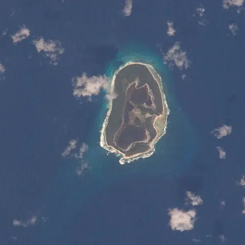
The site covers 1 top sight, which is North Keeling.
When to go
The climate data describes the capital and uses averages only for the period from 1981 to 2010 for temperatures and rain, and 2015 to 2024 for rainy days. In January, the average temperature is 26 °C with 152 mm of rain on about 16 days. February averages 27 °C with 180 mm of rain on about 18 days. March averages 27 °C with 232 mm of rain on about 22 days. April averages 27 °C with 280 mm of rain on about 19 days. May averages 27 °C with 218 mm of rain on about 20 days. June averages 26 °C with 220 mm of rain on about 22 days. July averages 26 °C with 209 mm of rain on about 17 days. August averages 25 °C with 97 mm of rain on about 14 days. September averages 25 °C with 86 mm of rain on about 8 days. October averages 25 °C with 91 mm of rain on about 9 days. November averages 26 °C with 89 mm of rain on about 14 days. December averages 26 °C with 87 mm of rain on about 14 days.
Practical notes
The currency used is the Australian dollar (AUD). The spoken language is English. Driving is on the left side of the road. The time zone is UTC+06:30.
Top sights in Cocos (Keeling) Islands
Weather by month
Temperatures stay much the same all year, around 26 °C on average. The wettest is April, with about 280 mm of rain.
| Jan | Feb | Mar | Apr | May | Jun | Jul | Aug | Sep | Oct | Nov | Dec | |
|---|---|---|---|---|---|---|---|---|---|---|---|---|
| Average temperature, °C | 26 | 27 | 27 | 27 | 27 | 26 | 26 | 25 | 25 | 25 | 26 | 26 |
| Rainfall, mm | 152 | 180 | 232 | 280 | 218 | 220 | 209 | 97 | 86 | 91 | 89 | 87 |
| Rainy days | 16 | 18 | 22 | 19 | 20 | 22 | 17 | 14 | 9 | 9 | 14 | 14 |
Temperatures and rainfall: 1981–2010 averages for West Island (4 km grid), from CHELSA. Rainy days: 2015–2024, NASA POWER.