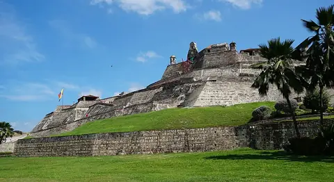
Cocora Valley
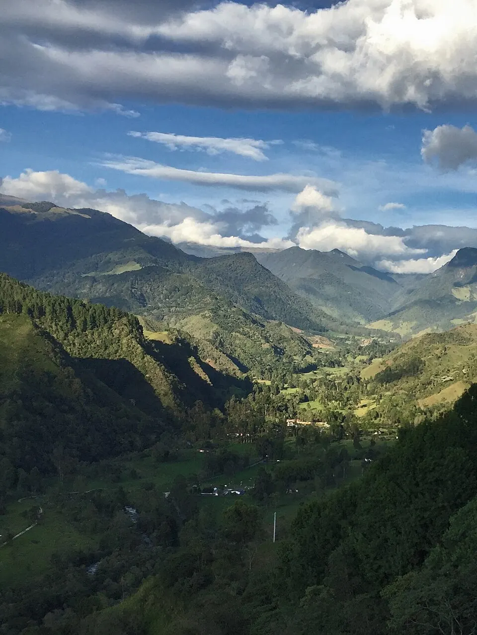
Cocora Valley is a valley in the Quindío Department of Colombia. It is one of the 10 most looked-up sights in the country on this site and ranks 9th among Colombia's sights for English Wikipedia lookups.
Planning a visit
The climate is cool year-round, with daily highs around 16 °C or 17 °C and lows between 8 °C and 10 °C. The wettest months are October and November, which see about 24 days of rain and nearly 400 mm of precipitation. August is one of the drier months, with about 15 rainy days and 196 mm of rain.
To reach the valley, you can fly into Matecaña International Airport in Pereira, which is 34 km away. The site is 156 km from the capital, Bogotá. Visitors can combine a trip here with a visit to Nevado del Ruiz, located 34 km away.
Weather by month
Temperatures stay much the same all year, around 13 °C on average. Rain is spread fairly evenly through the year.
| Jan | Feb | Mar | Apr | May | Jun | Jul | Aug | Sep | Oct | Nov | Dec | |
|---|---|---|---|---|---|---|---|---|---|---|---|---|
| Average high, °C | 16 | 16 | 17 | 17 | 16 | 16 | 16 | 16 | 16 | 16 | 16 | 16 |
| Average low, °C | 9 | 9 | 9 | 10 | 10 | 9 | 9 | 9 | 9 | 9 | 9 | 9 |
| Rainfall, mm | 167 | 177 | 260 | 346 | 336 | 253 | 221 | 196 | 234 | 386 | 381 | 246 |
| Rainy days | 16 | 18 | 24 | 24 | 23 | 21 | 18 | 15 | 17 | 24 | 23 | 19 |
Temperatures and rainfall: 1981–2010 averages for this spot (4 km grid), from CHELSA. Rainy days: 2015–2024, NASA POWER.