Irazú Volcano
Cartago, Costa Rica
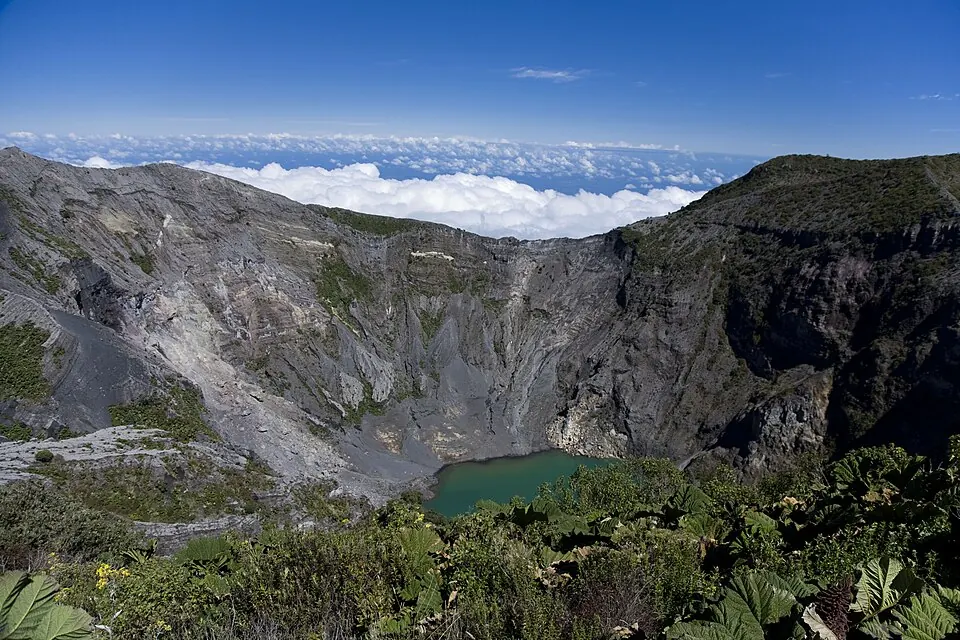
Irazú Volcano is a volcano in the Cordillera Central mountain range of Costa Rica and is part of the Andes. It has an elevation of 3,432 meters and covers an area of 23 km2. It is one of the 10 most looked-up sights in the country on English Wikipedia, ranking 7th.
Planning a visit
March is the driest month, with 191 mm of rain over 17 days. Rainfall is higher from May through November, with October receiving 519 mm over 29 days. Daily high temperatures range from 10 °C in January and December to 13 °C in April. Daily lows range from 3 °C to 6 °C.
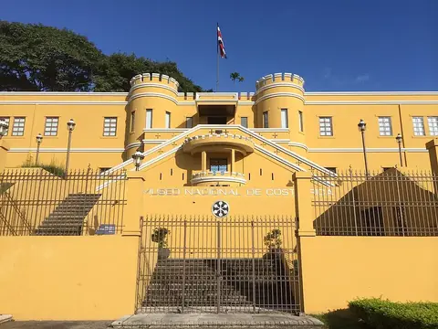
The volcano is 25 km from San José. The nearest airport is Tobías Bolaños International Airport, which is 32 km away, and Juan Santamaría International Airport is 39 km away. The site is open from 08:00 to 15:00, and the entry price is US$10. The Museo Nacional de Costa Rica is 24.5 km away and can be visited nearby.
Weather by month
The warmest month is April, with an average high of 13 °C. Rain is spread fairly evenly through the year.
| Jan | Feb | Mar | Apr | May | Jun | Jul | Aug | Sep | Oct | Nov | Dec | |
|---|---|---|---|---|---|---|---|---|---|---|---|---|
| Average high, °C | 10 | 11 | 12 | 13 | 12 | 12 | 12 | 12 | 12 | 12 | 11 | 10 |
| Average low, °C | 3 | 3 | 4 | 5 | 6 | 6 | 6 | 6 | 6 | 6 | 5 | 4 |
| Rainfall, mm | 325 | 222 | 191 | 207 | 422 | 452 | 406 | 453 | 465 | 519 | 450 | 385 |
| Rainy days | 17 | 16 | 17 | 21 | 27 | 30 | 29 | 29 | 30 | 29 | 26 | 24 |
Temperatures and rainfall: 1981–2010 averages for this spot (4 km grid), from CHELSA. Rainy days: 2015–2024, NASA POWER.