Nicoya Peninsula
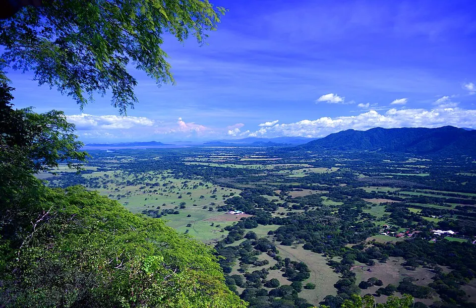
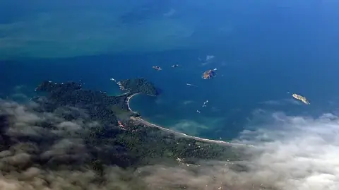
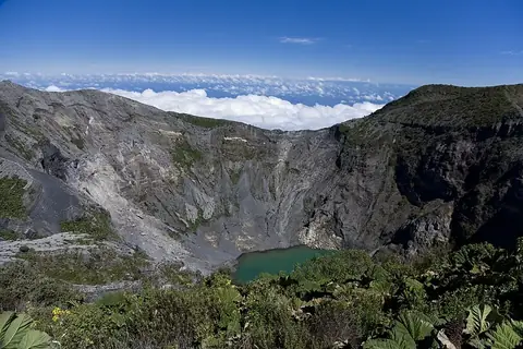
The Nicoya Peninsula is a peninsula located in Guanacaste Province, Costa Rica, and is part of a Blue Zone. It reaches an elevation of 466 m. It is one of the most looked-up sights in the country on English Wikipedia, ranking 5th among the country's sights on this site.
Planning a visit
January through March offer the lowest rainfall, with monthly rain between 4 mm and 15 mm and daily highs from 30 °C to 32 °C. The rain increases significantly from May through October, peaking in September with 437 mm of rain across about 29 rainy days, while daily temperatures remain between 26 °C and 28 °C.
The nearest airport is Nosara Airport in Nicoya, located 26 km away, while Daniel Oduber Quirós International Airport in Liberia is 67 km away. The peninsula is 147 km from the capital, San José.
Weather by month
The warmest month is March, with an average high of 32 °C. The wettest is September, with about 437 mm of rain.
| Jan | Feb | Mar | Apr | May | Jun | Jul | Aug | Sep | Oct | Nov | Dec | |
|---|---|---|---|---|---|---|---|---|---|---|---|---|
| Average high, °C | 30 | 31 | 32 | 31 | 28 | 27 | 27 | 27 | 27 | 26 | 27 | 28 |
| Average low, °C | 20 | 20 | 21 | 21 | 22 | 21 | 21 | 21 | 21 | 21 | 20 | 20 |
| Rainfall, mm | 4 | 10 | 15 | 64 | 321 | 358 | 262 | 339 | 437 | 400 | 149 | 30 |
| Rainy days | 3 | 1 | 3 | 13 | 26 | 29 | 27 | 29 | 29 | 29 | 22 | 8 |
Temperatures and rainfall: 1981–2010 averages for this spot (4 km grid), from CHELSA. Rainy days: 2015–2024, NASA POWER.