El Cajas National Park
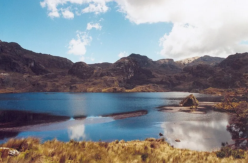
El Cajas National Park is a national park in Ecuador and is a Ramsar site. It is one of the 10 most looked-up sights in the country on this site and ranks 8th among Ecuador's sights for English Wikipedia lookups.
Planning a visit
The park is located 302 km from Quito. The nearest airport is Mariscal Lamar Airport in Cuenca, which is 27 km away. José Joaquín de Olmedo International Airport in Guayaquil is 106 km away.
July and August are the driest months, with about 5 to 8 rainy days. For warmer temperatures, September has the highest daily high at 12 °C. The park is cold year-round, with daily highs between 10 °C and 12 °C and daily lows between 3 °C and 4 °C. The wettest period is from February to April, when monthly rainfall reaches up to 355 mm.
Weather by month
Temperatures stay much the same all year, around 7 °C on average. The wettest is March, with about 355 mm of rain.
| Jan | Feb | Mar | Apr | May | Jun | Jul | Aug | Sep | Oct | Nov | Dec | |
|---|---|---|---|---|---|---|---|---|---|---|---|---|
| Average high, °C | 10 | 10 | 11 | 11 | 11 | 10 | 10 | 11 | 12 | 11 | 11 | 10 |
| Average low, °C | 4 | 4 | 4 | 5 | 5 | 4 | 3 | 4 | 4 | 4 | 4 | 4 |
| Rainfall, mm | 177 | 276 | 355 | 267 | 151 | 84 | 65 | 61 | 85 | 98 | 102 | 146 |
| Rainy days | 19 | 21 | 22 | 20 | 18 | 13 | 8 | 5 | 5 | 11 | 11 | 14 |
Temperatures and rainfall: 1981–2010 averages for this spot (4 km grid), from CHELSA. Rainy days: 2015–2024, NASA POWER.