Ecuador
Country · Americas, South America
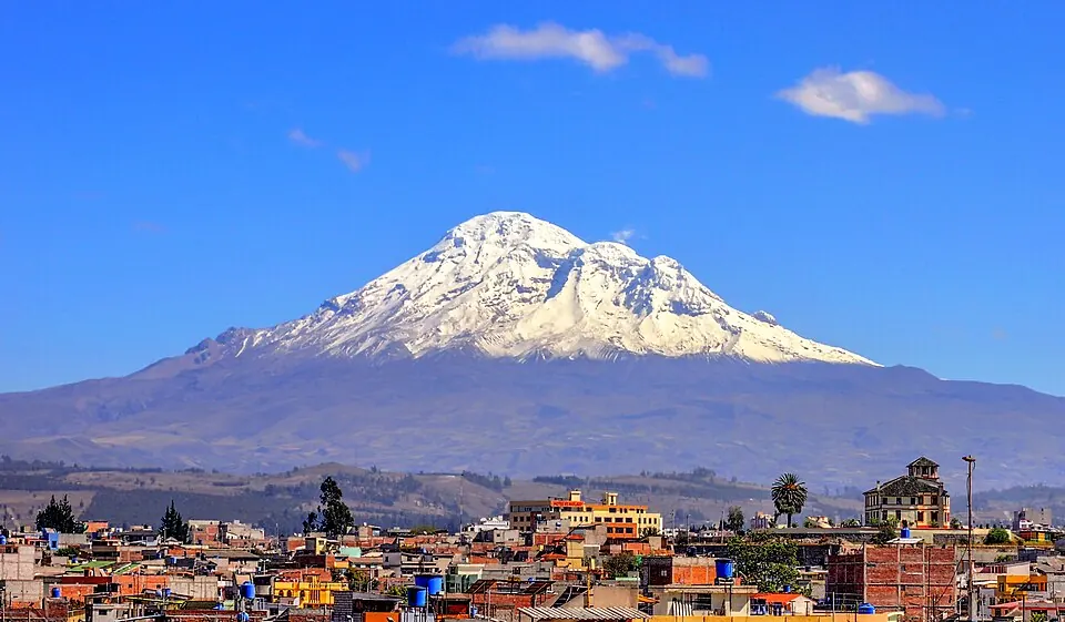
Located in South America between Colombia and Peru, Ecuador covers an area of 257,204 square kilometers. With a population of about 18 million, the country features the capital city of Quito and a diverse range of natural sites, including volcanic peaks and national parks.
Highlights
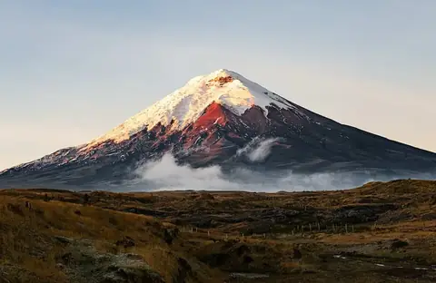
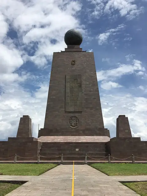
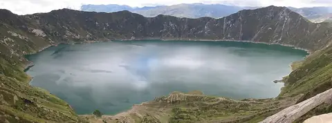
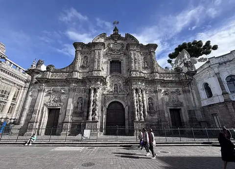
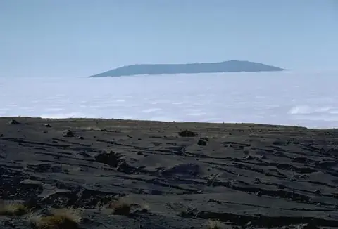
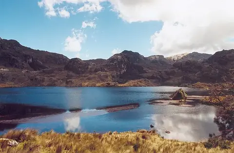
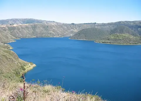
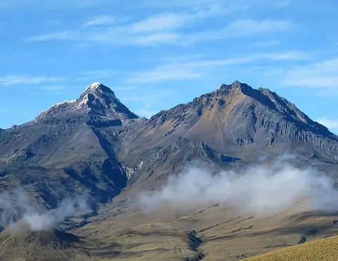
This guide covers 10 notable sights across the country. Natural landmarks include mountain peaks such as Chimborazo, Cotopaxi, Illiniza, and the crater lakes of Quilotoa and Cuicocha. You can also visit diverse environments like Yasuní National Park and Sierra Negra, or explore El Cajas National Park. For cultural interests, the Church of La Compañía in Quito and Ciudad Mitad del Mundo are available.
Food and drink
Local culinary offerings include Fanesca, Encebollado, T'anta wawa, and Fritada.
When to go
The climate at the capital, Quito, features consistent daily temperatures with highs between 15 °C and 17 °C and lows between 8 °C and 9 °C throughout the year. For drier weather, consider visiting between July and September, when monthly rainfall drops significantly compared to the rest of the year. The wettest months are March and April, which experience high levels of precipitation.
Practical notes
The official currency is the United States dollar. Spanish, Northern Quichua, and Shuar are spoken. Electrical systems use plugs type A and B with a voltage of 120 V. Traffic moves on the right side of the road. The country operates within two time zones: UTC−06:00 and UTC−05:00.
Cities
Food and drink to try in Ecuador
- Fanesca
- Encebollado
- T'anta wawa
- Fritada
Top sights in Ecuador
Weather by month
Temperatures stay much the same all year, around 12 °C on average. The wettest is March, with about 295 mm of rain.
| Jan | Feb | Mar | Apr | May | Jun | Jul | Aug | Sep | Oct | Nov | Dec | |
|---|---|---|---|---|---|---|---|---|---|---|---|---|
| Average high, °C | 15 | 15 | 15 | 15 | 16 | 16 | 17 | 17 | 17 | 16 | 15 | 15 |
| Average low, °C | 9 | 9 | 9 | 9 | 9 | 9 | 9 | 9 | 9 | 9 | 9 | 9 |
| Rainfall, mm | 195 | 228 | 295 | 294 | 198 | 95 | 42 | 49 | 135 | 189 | 195 | 201 |
| Rainy days | 26 | 25 | 27 | 26 | 25 | 19 | 11 | 7 | 9 | 18 | 21 | 23 |
Temperatures and rainfall: 1981–2010 averages for Quito (4 km grid), from CHELSA. Rainy days: 2015–2024, NASA POWER.
Also worth a look
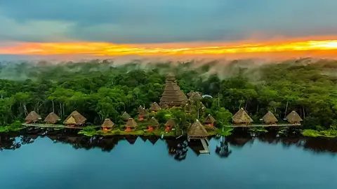
- Cuyabeno Wildlife Reserve
- Llanganates National Park
- Machalilla National Park
- Podocarpus National Park
- Sangay National Park